Why in news?
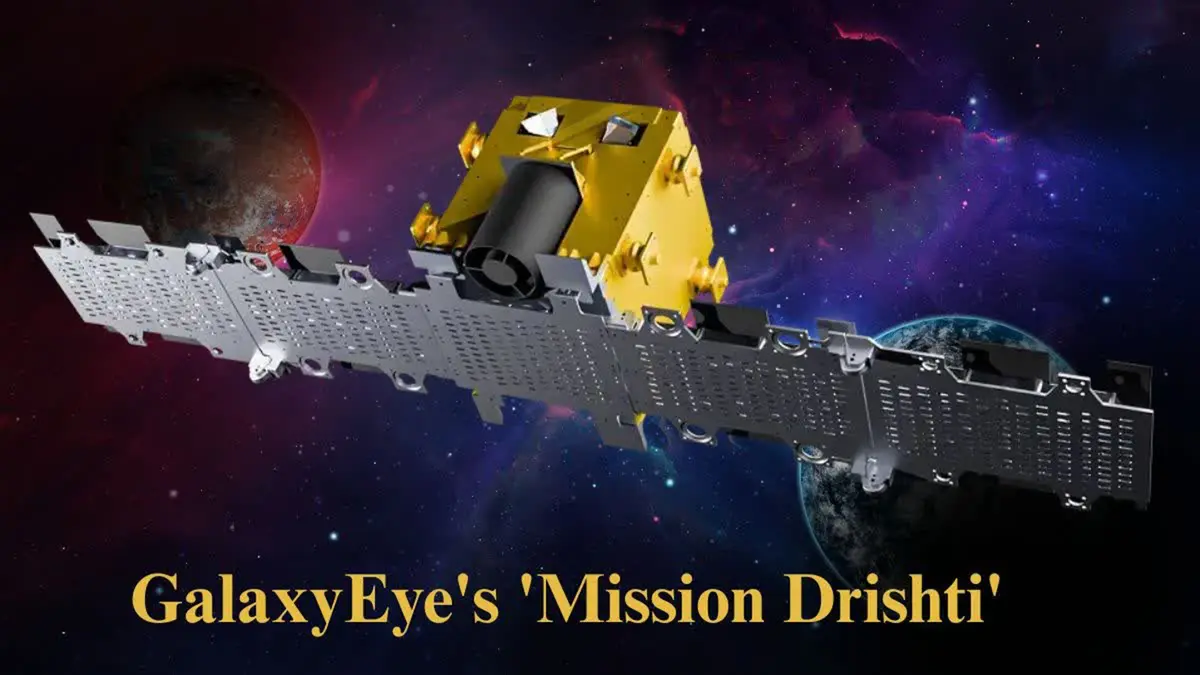
Bengaluru‑based space‑tech start‑up GalaxEye plans to launch the world’s first multi‑sensor Earth observation satellite, Mission Drishti, in early 2026. The project was announced in October 2025 and aims to deliver high‑resolution images through any weather conditions.
Background
GalaxEye’s satellite combines Synthetic Aperture Radar (SAR) with optical imaging in a single platform. This “SyncFused” Opto‑SAR technology collects radar and optical data simultaneously, enabling continuous monitoring of terrain even in darkness or during cloudy conditions. Structural testing of the satellite was completed at ISRO’s U R Rao Satellite Centre in Bengaluru.
Key features
- High‑resolution imaging: The 160 kg satellite will offer resolution of about 1.5 metres, enabling detailed observation of infrastructure and natural features.
- Weather‑independent data: Combining SAR and optical sensors allows imaging through clouds, fog and even heavy rain. This is useful for disaster management, border surveillance and agriculture.
- Constellation plan: GalaxEye intends to deploy a constellation of 8–12 satellites by 2029, providing near‑real‑time coverage over critical regions.
- Applications: Data will aid defence and intelligence, infrastructure monitoring, environmental conservation, disaster response and agricultural planning. The company also plans to supply imagery to commercial customers.
Significance
- Commercial innovation: Mission Drishti represents the growing role of private Indian firms in advanced space technology, complementing ISRO’s programmes.
- Economic opportunity: High‑resolution, all‑weather imagery can benefit sectors from insurance to urban planning, attracting investment and creating high‑tech jobs.
Conclusion
Mission Drishti showcases India’s capability to build sophisticated Earth observation satellites. If successful, it will put the country at the forefront of multi‑sensor imaging and open new commercial opportunities in geospatial data.
Source: The Hindu