Why in news?
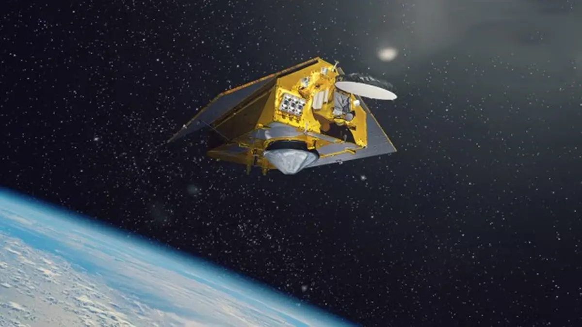
On 16–17 November 2025, a Falcon 9 rocket lifted off from Vandenberg Space Force Base in California carrying Sentinel‑6B, an ocean‑monitoring satellite developed jointly by NASA, the US National Oceanic and Atmospheric Administration (NOAA), the European Space Agency (ESA) and the European Organisation for the Exploitation of Meteorological Satellites (EUMETSAT). The spacecraft will extend a decades‑long record of precise sea‑level measurements and contribute to improved weather and climate forecasts.
Background
The Sentinel‑6/Jason‑Continuity of Service (Jason‑CS) programme comprises two identical satellites – Sentinel‑6 Michael Freilich (launched in 2020) and Sentinel‑6B. They follow a lineage of ocean altimetry missions (TOPEX/Poseidon and Jason‑1/2/3) that have monitored global sea level rise since the early 1990s. Precise altimeters on these satellites measure the height of the ocean surface to within a few centimetres, providing data essential for climate research, weather forecasting and maritime operations.
Mission specifics
- Orbit and speed: Sentinel‑6B orbits Earth at about 1,336 km altitude and travels roughly 7.2 km per second, completing an orbit every 112 minutes. After launch, it will fly 30 seconds behind its twin to allow cross‑calibration of instruments.
- Payload: The satellite carries a radar altimeter and a microwave radiometer to measure sea‑surface height and atmospheric water vapour. The data will cover around 90 % of the world’s oceans, resolving sea level differences as small as one inch.
- Longevity and handover: Once instruments are cross‑calibrated, Sentinel‑6B will become the primary sea‑level mission, while its twin will serve as backup. Each satellite weighs about 1,200 kg and is designed to operate for at least five years.
Why it matters
- Tracking sea‑level rise: Continuous measurements help scientists monitor long‑term trends in sea level, a critical indicator of climate change linked to melting ice sheets and thermal expansion of seawater.
- Improving forecasts: Sea‑level and wave‑height data feed into weather and ocean models, enhancing hurricane forecasts, storm surge predictions and coastal flood warnings.
- Planning and adaptation: High‑resolution data support city planners and engineers in designing infrastructure resilient to rising seas, protecting coastal communities and ecosystems.
Conclusion
Sentinel‑6B underscores the value of international collaboration in Earth observation. By delivering precise sea‑level measurements, it will help researchers, forecasters and policymakers respond to the growing challenges of climate change and extreme weather.
Source: NASA · Indian Express