Why in news?
Researchers from Stanford University and their collaborators announced in October 2025 that an artificial‑intelligence tool had identified a thin ring fault beneath Italy’s Campi Flegrei volcano. After analysing more than 54,000 micro‑earthquakes recorded between 2022 and mid‑2025, the AI model suggests that moderate earthquakes are a more immediate hazard than a volcanic eruption.
Background
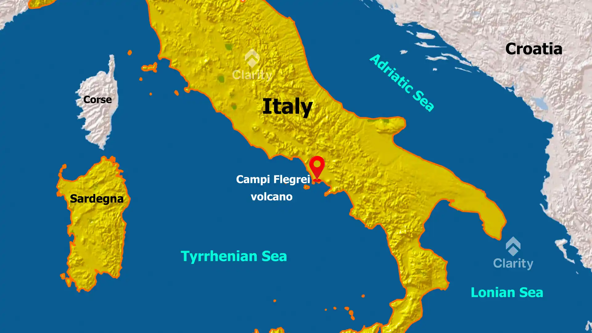
Campi Flegrei, meaning “burning fields,” is a 13‑kilometre‑wide caldera west of Naples. It formed after two colossal eruptions about 39,000 and 15,000 years ago. The area is home to roughly 360,000 people and exhibits bradyseism – cycles of ground uplift and subsidence caused by fluids moving underground. The volcano last erupted in 1538 at Monte Nuovo. Since 2005, it has been in a state of unrest, with the ground rising by several centimetres per year and swarms of small earthquakes.
Key findings of the AI study
- Enhanced earthquake detection: The AI algorithm was trained on over a million seismograms and increased the number of detected earthquakes by four‑fold. It catalogued more than 54,000 earthquakes between 2022 and mid‑2025, including thousands that traditional methods had missed.
- Discovery of a ring fault: The detected earthquakes outline a narrow ring‑shaped fault roughly three kilometres beneath the surface. This structure coincides with the outer boundary of the area where the ground has been uplifted, indicating that rock around the caldera is fracturing as it stretches.
- No evidence of magma ascent: The analysis found no signs of magma moving upward through the crust. Instead, the earthquakes are thought to result from the inflation of the caldera due to the accumulation of gases and fluids at depth. The ring fault could generate earthquakes up to magnitude 5, which would be damaging to nearby towns.
- Implications for hazard assessment: The study suggests that moderate earthquakes pose a greater short‑term risk than an imminent volcanic eruption. The new detection method enhances monitoring efforts and provides authorities with better data to prepare evacuation plans, strengthen buildings and communicate risks to residents.
Sources: Live Science; Stanford Doerr School of Sustainability