Why in news?
Scientists recorded low‑level activity at Barren Island in September 2025, reminding the public that it is India’s only active volcano. Though small plumes of ash posed no immediate risk, the event sparked interest in the geology of this remote island.
Geological background
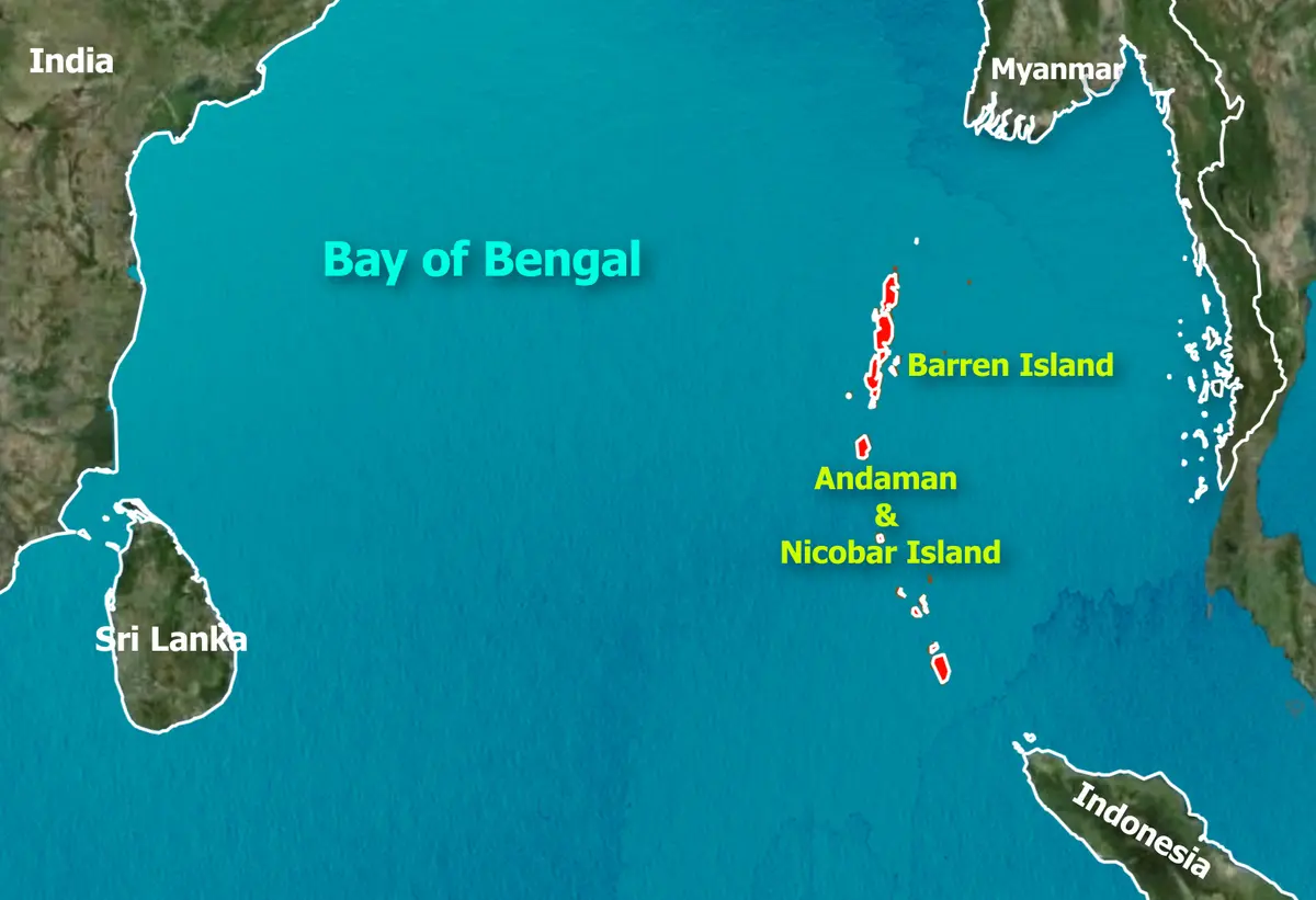
Barren Island lies about 138 kilometres north‑east of Port Blair in the Andaman Sea. It rises roughly 354 metres above sea level and covers three square kilometres. The island sits on the boundary where the Indian tectonic plate plunges beneath the Burmese plate. Volcanic activity is driven by this subduction and the melting of mantle rocks. Records of eruptions date back to 1787, though the volcano remained dormant for over a century until a major eruption in 1991. Since then, intermittent eruptions have occurred, usually small and categorised as Volcanic Explosivity Index (VEI) 2 events.
Features and significance
- Caldera and cone: A horseshoe‑shaped caldera roughly two kilometres wide hosts a cinder cone that vents lava and ash. Surrounding waters are steep and deep, making the island inaccessible except by special permission.
- Biodiversity: Despite its name, some pioneer plant species and feral goats introduced centuries ago inhabit the island. Nearby waters support rich marine life and are part of the Mahatma Gandhi Marine National Park.
- Strategic importance: The island’s location near busy shipping lanes and its potential to act as a natural laboratory make it strategically and scientifically important for India.
- Tourism and safety: Tourism around Barren Island is tightly controlled. Dive operators run trips to nearby reefs, but landing on the island is banned to protect visitors and the fragile ecosystem.
Monitoring the volcano helps scientists understand subduction‑zone processes and ensures that residents and shipping lanes remain safe from unexpected eruptions.