Why in news?
The Musi River has been in news as the Telangana government prepared to clear encroachments along its banks. Understanding the river’s geography and history is essential for restoring its ecosystem and preventing future floods.
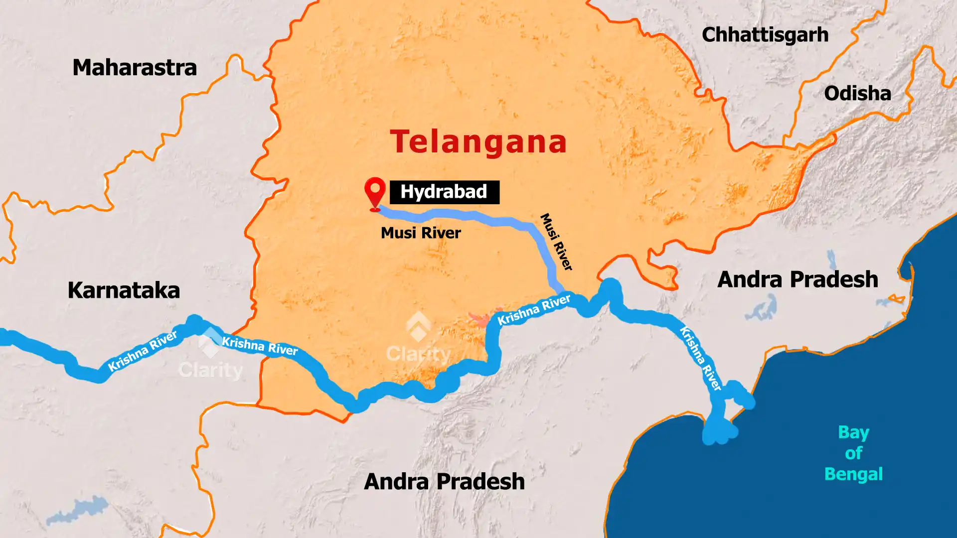
Course and characteristics
- Origin: The Musi River begins in the Anantagiri Hills near Vikarabad in Telangana, about 90 kilometres west of Hyderabad. It consists of two small streams—Esi and Musa—that merge to form the river.
- Flow: The river runs eastward across the Deccan Plateau, bisecting Hyderabad into the old city and the newer parts. After flowing for roughly 240 kilometres, it turns south and joins the Krishna River near Wazirabad in Nalgonda district.
- Dams and bridges: Two reservoirs—Himayat Sagar and Osman Sagar—were built across the Musi to supply drinking water and prevent floods. Historic bridges include the 16th‑century Purana Pul (Old Bridge) built by the Qutb Shahi rulers and the Naya Pul near the High Court. Additional bridges cross the river at Dabirpura, Amberpet, Chaderghat and Uppal Kalan.
Historical floods and environmental issues
The Musi River was notorious for floods in the early 20th century. In 1908 Hyderabad recorded 17 inches (43 centimetres) of rain in one day, causing water levels to rise more than 3 metres and destroying large parts of the city. The disaster prompted the construction of the Osman Sagar and Himayat Sagar dams. Today, unchecked urbanisation has turned the river into a channel for untreated sewage and industrial effluents. Restoring the river requires clearing encroachments, upgrading sewage treatment plants and reviving its ecological functions.