Overview
Nigeria is the most populous country in Africa and a major player in West African affairs. Abuja is the capital, while Lagos remains the largest city and commercial hub.
Geographical facts
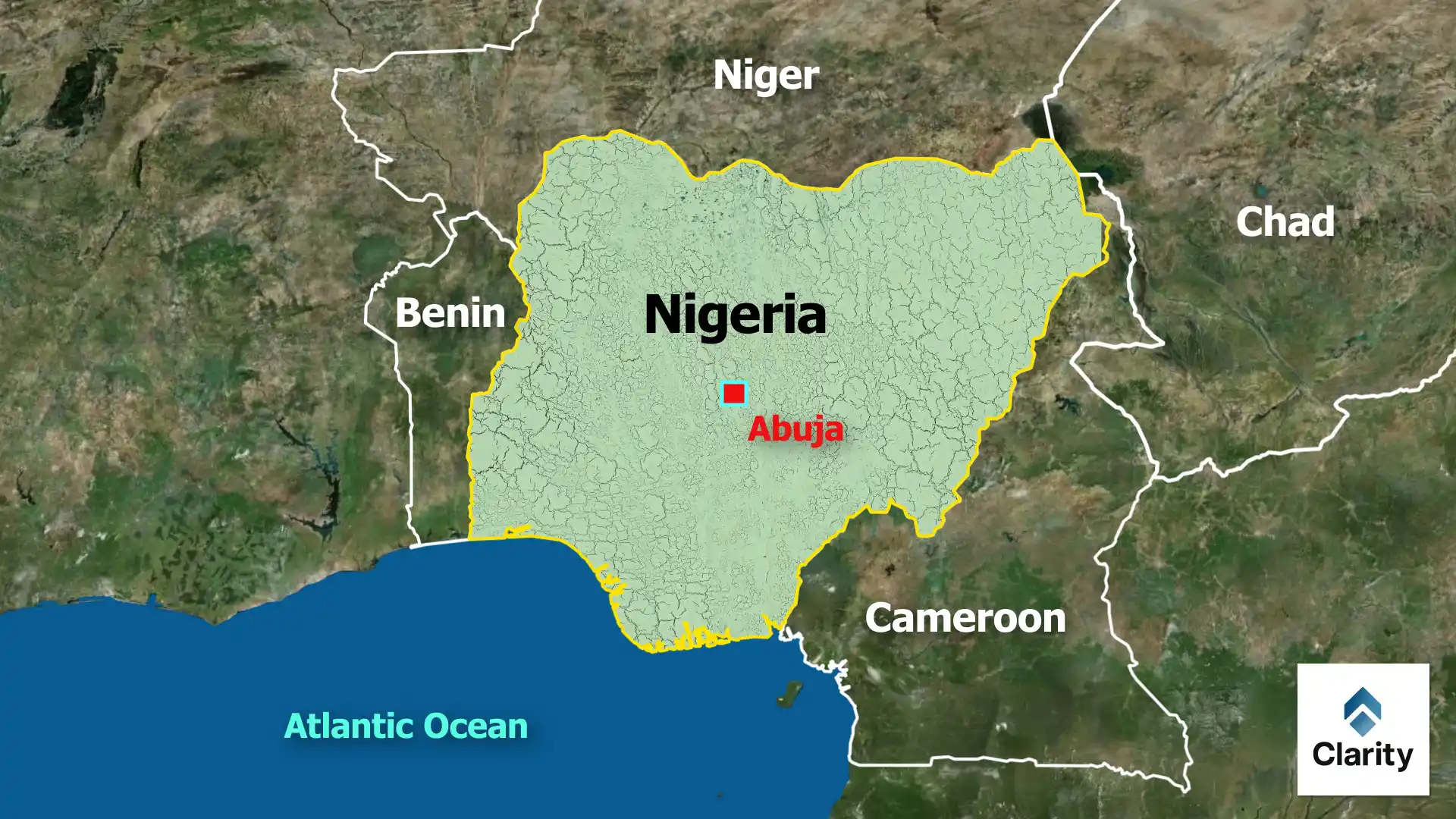
- Location: Nigeria lies on the Gulf of Guinea between latitudes 4° and 14° N. It is bordered by Benin in the west, Niger in the north, Chad to the northeast and Cameroon in the east.
- Rivers: The Niger and Benue rivers form a Y‑shaped confluence near Lokoja. These rivers provide water for irrigation, transport and hydropower.
- Climate: The south has a tropical rainforest climate with heavy rainfall, while the north is semi‑arid and part of the Sahel. Harmattan winds bring dusty conditions during the dry season.
- Natural resources: Nigeria is one of the world’s largest oil producers. It also has reserves of natural gas, coal and minerals such as tin. Agriculture—especially crops like cassava, cocoa and yams—employs much of the population.
- Ethnic diversity: Over 250 ethnic groups live in Nigeria. The three largest are the Hausa‑Fulani in the north, the Yoruba in the southwest and the Igbo in the southeast.
Significance
Understanding Nigeria’s geography helps explain its political and economic challenges. The distribution of oil wealth, regional inequalities and environmental issues like desertification and oil spills have shaped its development. Nigeria’s demographic weight also makes it an influential member of organisations like the African Union and ECOWAS.