Why in news?
Rescue teams recently saved four women and three children who were stranded in flood waters while crossing the Penganga River near Sahastrakund waterfall in Maharashtra. The incident has drawn attention to the river’s geography and flood behaviour.
Background
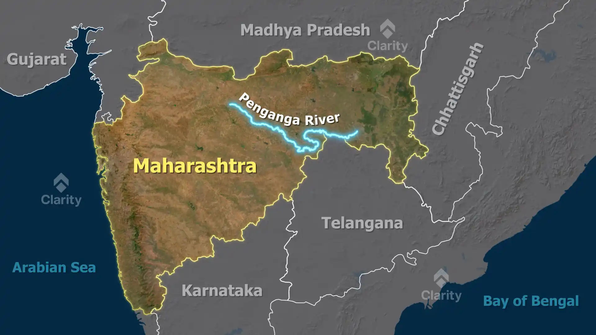
The Penganga, also called the Painganga River, originates in the Ajantha ranges of Aurangabad district in Maharashtra. It flows eastwards through Buldhana and Washim districts, forms the boundary between Yavatmal and Nanded districts and then runs along the border of Maharashtra and Telangana before joining the Wardha River. The Wardha merges with the Wain Ganga River to form the Pranhita River, which eventually enters the Godavari and empties into the Bay of Bengal.
Key facts
- Length: The Penganga stretches for about 676 kilometres and is deeply entrenched, making navigation difficult.
- Tributaries: Its main tributaries include the Adan, Kas, Arunavati, Kayadhu and Pus rivers.
- Flood regime: The river is prone to flooding during the monsoon and winter months, while flow is lower in summer. Sudden releases from upstream barrages can rapidly raise water levels, posing dangers to people attempting to cross.
- Dams: Two major dams – the Upper and Lower Painganga (also known as Isapur) – are being built on the river to provide irrigation and flood control.
- Socio‑economic role: The river irrigates farmland in the Washim and Yavatmal districts and supports agriculture and fishing communities along its banks.
Safety message
The recent rescue underscores the need for caution when crossing rivers during periods of high flow. Local authorities often close crossings when water levels rise, and ignoring such warnings can be life‑threatening.
Sources: Times of India,

