Why in news?
Catastrophic floods and landslides in the Himalayas during the 2025 monsoon underscored the need for modern disaster management. In response, experts are advocating a technology‑driven strategy to predict hazards, coordinate relief and reduce loss of lives.
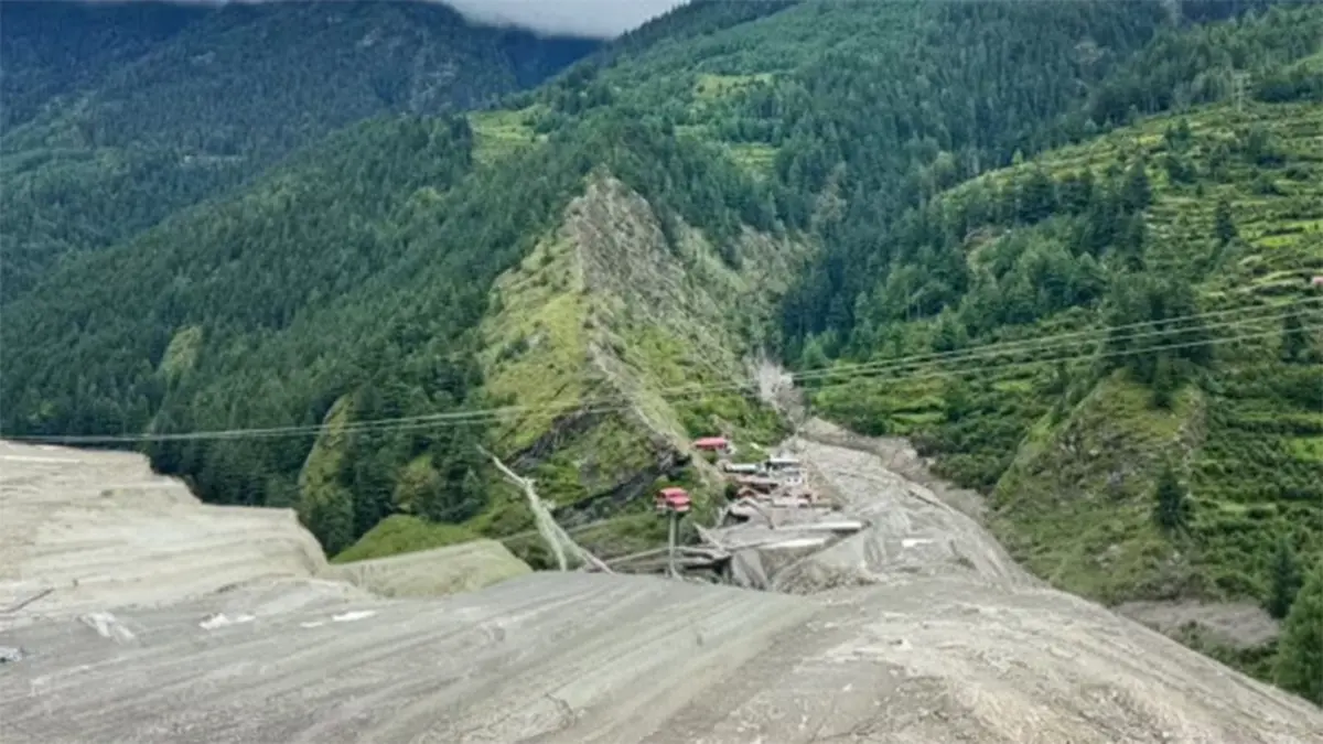
Context: Himalayan disasters
- The Himalayas are prone to cloudbursts, glacial lake outbursts, landslides and earthquakes. In 2025, intense rainfall triggered flash floods and landslides in Himachal Pradesh and Uttarakhand, overwhelming traditional response systems.
- Rapid urbanisation, road expansion and deforestation have increased vulnerability by destabilising slopes and blocking natural drainage.
Key components of a technology‑driven strategy
- Early warning systems: Deploy doppler radars, automated rain gauges and real‑time river level sensors to issue timely alerts. Integrate data from satellites and weather models to forecast cloudbursts and glacial lake outburst floods.
- High‑resolution mapping: Use drones, LiDAR and hyperspectral imaging to map landslide‑prone slopes, glacial lakes and river channels. AI‑based hazard models can predict areas at risk and guide land‑use planning.
- Integrated command and control centres: Establish state‑level disaster response centres equipped with GIS displays, communication networks and decision‑support tools. These centres should coordinate with district administrations and armed forces.
- Citizen engagement: Develop mobile apps and community radio services to disseminate warnings in local languages. Encourage crowdsourced reporting of hazards and involve local volunteers in evacuation drills.
- Resilient infrastructure: Strengthen roads, bridges and power lines using climate‑resilient design. Create buffer zones along rivers and enforce building codes to reduce damage.
- Training and capacity building: Train first responders in the use of drones, portable communication equipment and medical aid. Conduct joint exercises among disaster response forces, police and local communities.
Benefits
- Lives saved: Accurate forecasts and timely warnings allow authorities to evacuate vulnerable populations before disaster strikes.
- Efficient resource use: Real‑time situational awareness helps allocate rescue teams, relief supplies and helicopters efficiently.
- Data-driven planning: Hazard maps and risk assessments inform zoning regulations and infrastructure development, reducing long‑term vulnerability.
Conclusion
Adopting a technology‑driven disaster management strategy is no longer optional for India’s mountainous regions. Integrating advanced monitoring, early warning, resilient infrastructure and community participation can significantly reduce disaster impacts.