Overview
Uganda is a landlocked country in East Africa. It lies across the equator and is known for its diverse landscapes—from snow‑capped mountains to tropical forests and savannas. Kampala is the national capital.
Key geographical facts
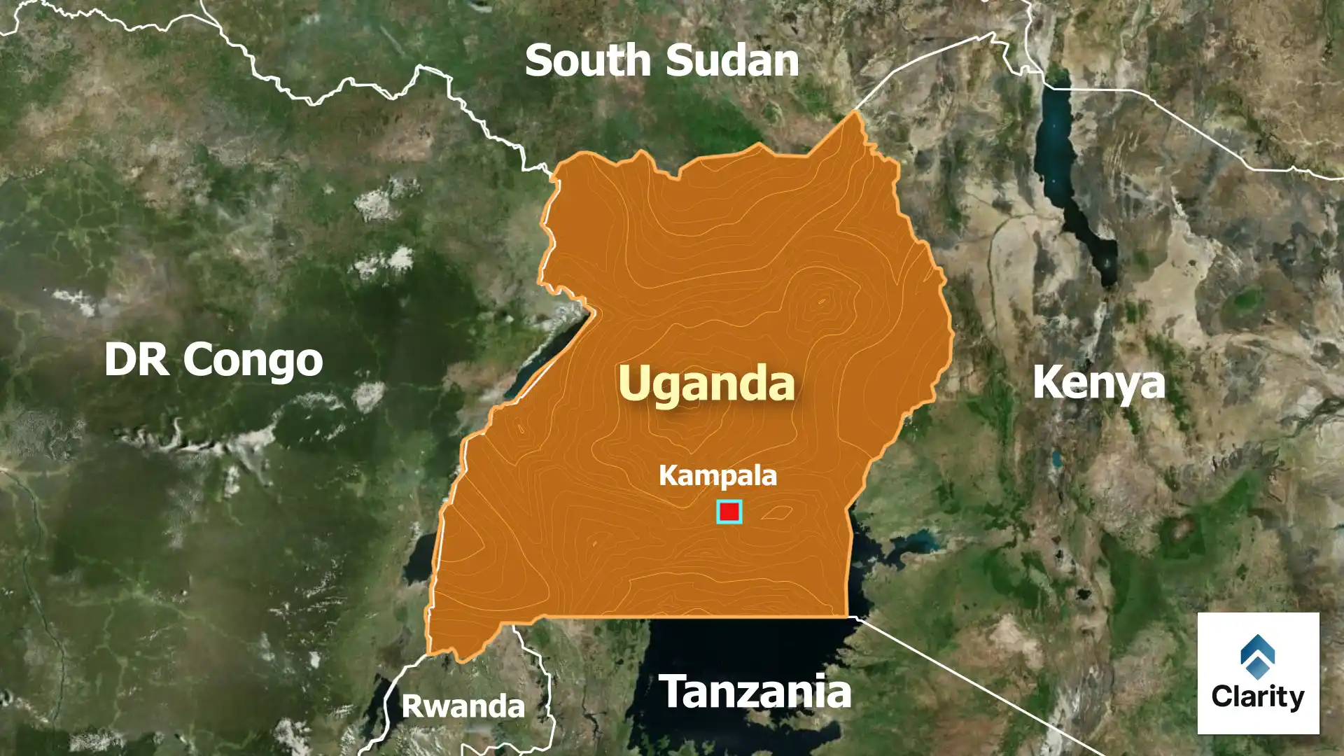
- Neighbours: Kenya to the east, Tanzania and Rwanda to the south, the Democratic Republic of Congo to the west and South Sudan to the north.
- Lakes and rivers: Uganda shares Lake Victoria, Africa’s largest lake, with Tanzania and Kenya. The White Nile river flows northward from the lake through Uganda.
- Mountains: The Rwenzori Range on the western border has peaks that remain snow‑covered year round. Mount Elgon, an extinct volcano, sits on the eastern frontier.
- Climate: The country has a tropical climate moderated by altitude. Rainfall is bimodal (two wet seasons) in most regions, supporting agriculture.
- Economy and resources: Agriculture, including coffee and tea, employs most Ugandans. Recent discoveries of oil along the Albertine Rift may transform the economy. Tourism is driven by wildlife, particularly mountain gorillas in Bwindi Impenetrable National Park.
Significance
Uganda’s location makes it a key player in East African regional affairs. The country hosts a large refugee population and participates in peacekeeping missions. Understanding its geography helps in appreciating its cultural diversity and development challenges.