Why in news?
On 27 November 2025 the Minister of Earth Sciences inaugurated two dual‑polarised C‑band Doppler Weather Radars in Raipur and Mangaluru. The new installations are part of Mission Mausam, which aims to triple India’s radar network by 2027. These radars will enhance cyclone and thunderstorm monitoring over central India and the west coast.
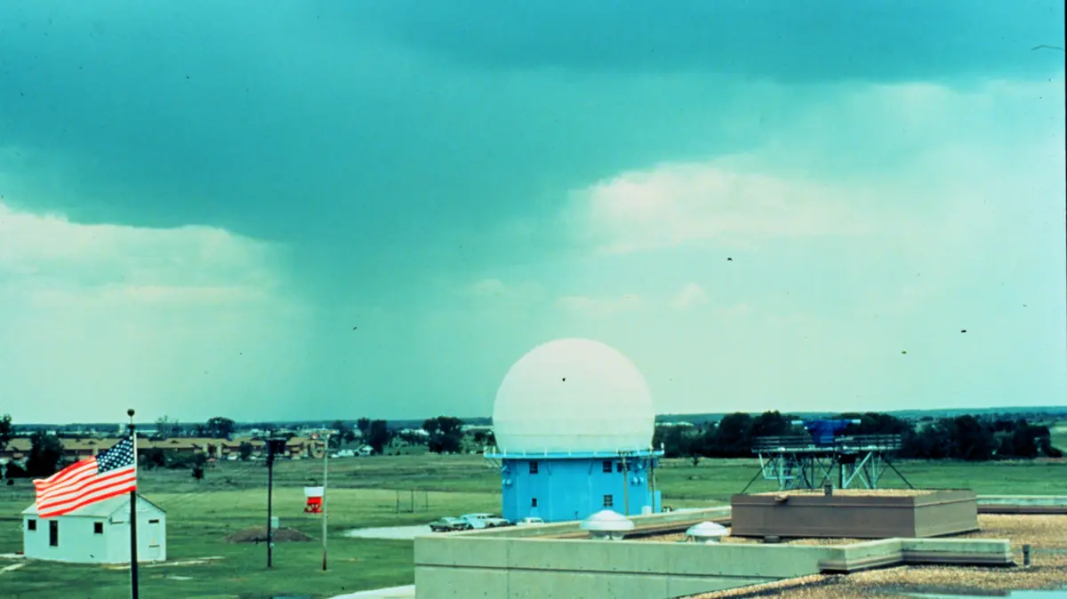
Understanding Doppler weather radar
A weather radar emits pulses of electromagnetic energy into the atmosphere. When the pulses strike raindrops, snowflakes or other targets, part of the energy scatters back to the radar. By measuring the strength of the returned signal and the time delay, meteorologists can determine the distance and intensity of precipitation. Doppler radars go a step further: they analyse the change in phase of the returned signal (the Doppler shift) to calculate whether the target is moving toward or away from the radar. This allows forecasters to estimate wind speeds and detect rotating storms that could spawn tornadoes.
Types and applications
- Band types: Weather radars operate at different wavelengths. S‑band radars (8–15 cm) penetrate heavy precipitation and are used for long‑range monitoring. C‑band radars (4–8 cm) balance range and resolution and are widely used for regional forecasting. X‑band radars (2.5–4 cm) provide high‑resolution data over short ranges and can be mounted on mobile platforms.
- Reflectivity vs. velocity: Radar displays show reflectivity (strength of returned energy) to indicate precipitation intensity and velocity (Doppler shift) to show wind motion toward or away from the radar. Red shades typically denote outbound motion while green indicates inbound motion.
- Advanced capabilities: Dual‑polarised radars transmit pulses in both horizontal and vertical orientations, allowing differentiation between raindrops, hail, snow and non‑meteorological targets. They can also identify debris lofted by tornadoes.
Expansion of India’s radar network
The India Meteorological Department (IMD) currently operates dozens of Doppler radars for nowcasting and warning services. Under Mission Mausam, the radar network is being expanded from 47 units in 2024 to 126 by 2027. The two new C‑band radars inaugurated in November 2025 have a 250‑km range and have been indigenously developed under the Make in India initiative. The Raipur radar will monitor monsoon depressions and thunderstorms across Chhattisgarh and adjoining states, while the Mangaluru radar will track cyclones and severe weather over the Arabian Sea and coastal Karnataka, Goa and Maharashtra. Plans are also underway to deploy urban radars in Delhi, Chennai, Mumbai and Kolkata and phased‑array radars in the Himalayan region.
Significance
Doppler Weather Radars are critical for issuing timely warnings of heavy rain, thunderstorms and cyclones. The expanded network will improve disaster preparedness, protect lives and property, and support sectors ranging from agriculture to aviation.
Sources: IE