Why in news?
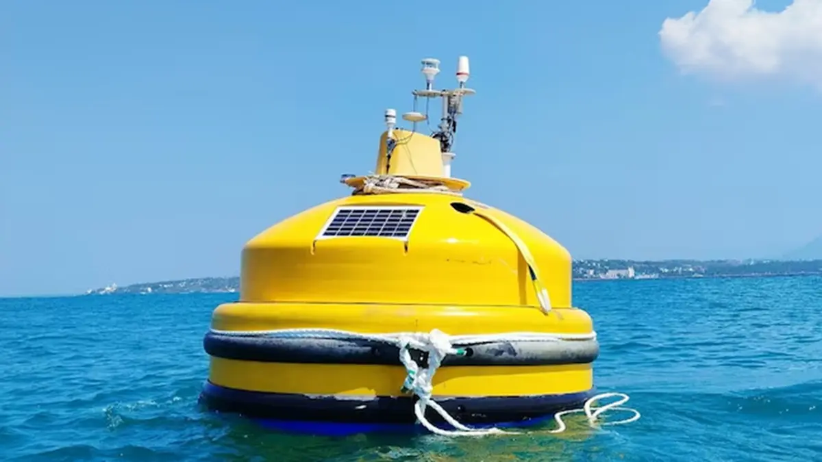
The National Institute of Ocean Technology (NIOT) successfully tested an indigenously developed floating LiDAR buoy off the coast of Muttom in Tamil Nadu. The buoy will collect wind data over the ocean to improve weather forecasting and support offshore wind projects.
Background
A LiDAR (Light Detection and Ranging) system uses laser pulses to measure distances and detect particles in the air. Traditional LiDAR instruments are mounted on fixed platforms or aircraft, but a floating LiDAR buoy allows measurements over open water. The NIOT buoy carries a LiDAR unit on a stable floating platform that can measure wind speed and direction up to about 300 metres above sea level. It also houses sensors for motion compensation, power supply and data transmission.
Key features and benefits
- High‑resolution wind profiling: By emitting laser pulses and analysing the reflected light, the buoy maps wind speed and direction at various heights, providing data critical for offshore wind farm planning.
- Improved weather forecasting: Real‑time measurements can enhance cyclone tracking and short‑term weather predictions, leading to better preparedness for coastal communities.
- Indigenous development: Designing and testing the buoy in India reduces dependence on imported equipment and aligns with the “Make in India” initiative.
- Support for clean energy: Detailed wind data help identify suitable sites for offshore wind turbines, accelerating India’s transition to renewable energy.
Conclusion
The floating LiDAR buoy is a step forward in ocean technology and renewable energy. By gathering accurate wind data at sea, it will aid both scientific research and the growth of offshore wind power in India.
Source: India Today

