

Why in news?
Archaeologists reported structural remains in the Kollidam riverbed near Lalgudi. Early assessment suggests an old water-management function.
What has been reported
The Archaeological Survey of India examined brick remains exposed near Lalgudi in Tiruchirappalli district. Investigators described them as a possible irrigation structure.
Contemporaneous reporting linked the remains with the Sangam period. That dating remains preliminary until excavation and scientific analysis establish a secure chronology.
Riverbeds are difficult archaeological settings. Floods can move stones, bury surfaces and mix objects from different periods.
Evidence before label
Shape and location may suggest water control. They cannot alone prove the structure’s age, builder or precise function.
Geographic and historical context
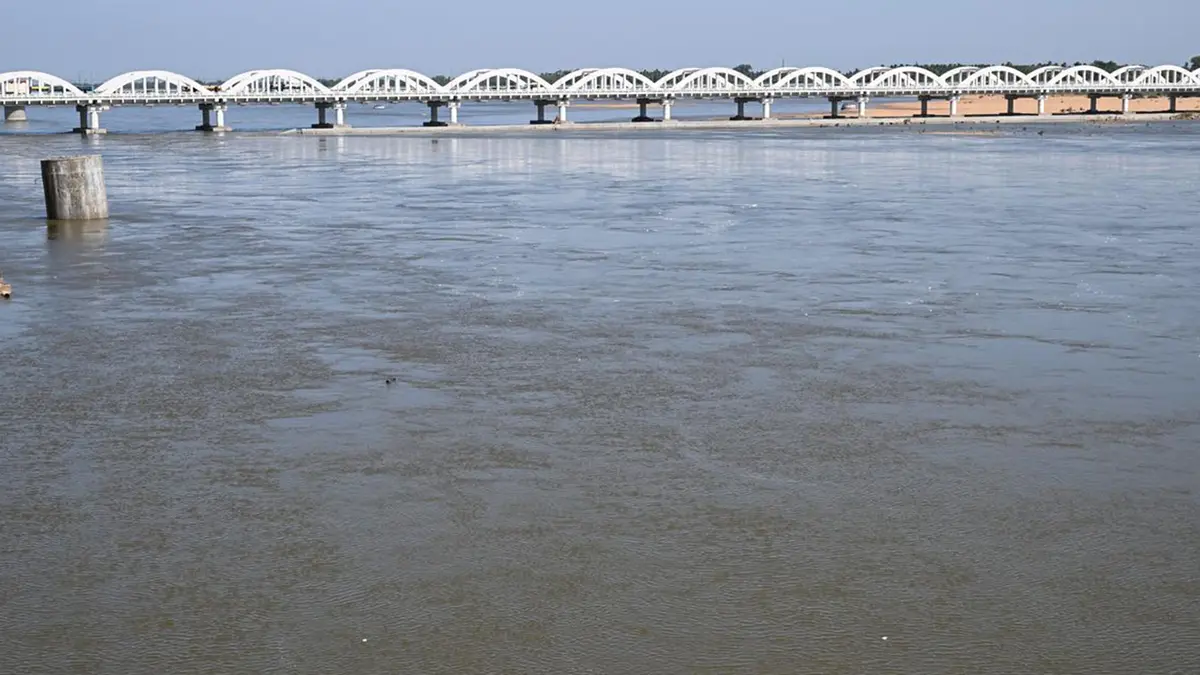
The Kollidam, also called the Coleroon, is the northern distributary of the Kaveri. It branches near the Srirangam island zone.
The Kaveri flows south of Srirangam, while the Kollidam runs to its north. Both continue through the fertile Tamil Nadu delta.
The system ultimately drains towards the Bay of Bengal. Its channels have long supported farming, settlements and movement across the delta.
Lalgudi lies east of Tiruchirappalli within this riverine landscape. Seasonal flow changes can expose remains that were previously covered.
What research should establish
A controlled excavation must record masonry, sediment layers and associated artefacts. Stratigraphy can show which deposits came before or after construction.
Researchers may use suitable organic material for radiocarbon dating. Other techniques can examine sediments, construction phases and past water movement.
Comparison with documented weirs or diversion works could test function. Similar appearance does not by itself establish a direct historical connection.
Hydrological study is equally important. It can show how the structure interacted with an older river course.
Protection must account for floods and sand movement. Premature removal would destroy relationships between the bricks and their riverbed context.
Remote sensing may help map buried alignments without extensive disturbance. It should support, not replace, careful ground investigation.
Local oral histories can guide research questions. They must remain separate from archaeological proof unless material evidence supports them.
Findings should enter a public site report with photographs and coordinates managed responsibly. Transparent documentation limits exaggeration and later confusion.
A promising lead, not a finished conclusion
The remains may deepen knowledge of Tamil Nadu’s water history. Secure dating and contextual excavation must come first.
Conclusion
The Kollidam find deserves careful investigation. Its significance will depend on evidence, not an attractive early label.