Why in news?
The European Space Agency (ESA) recently published a high‑resolution satellite image showing the sites of the 2026 Winter Olympics in northern Italy. The picture was captured by one of the Sentinel‑2 satellites, drawing attention to this little‑known Earth‑observation programme.
Background
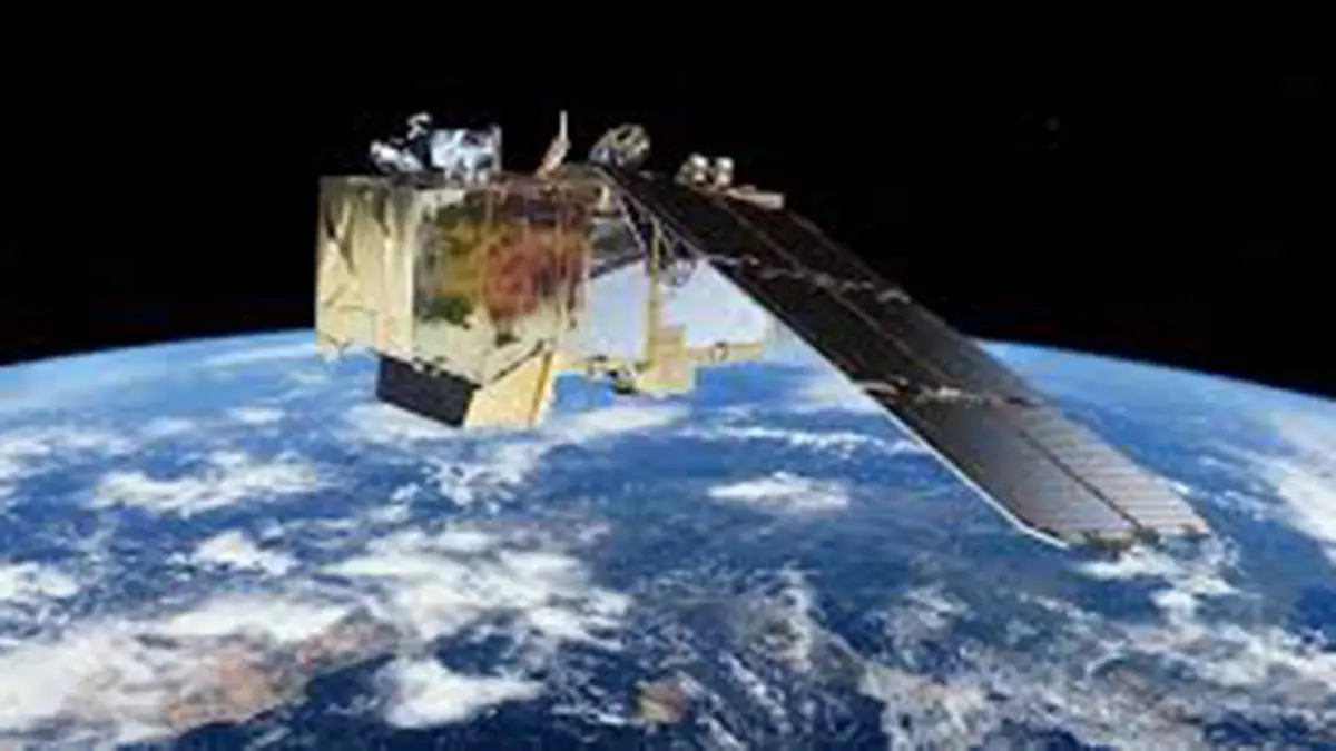
The Sentinel‑2 mission is part of Copernicus, the European Union’s flagship Earth‑observation programme. ESA operates a constellation of twin satellites (Sentinel‑2A and Sentinel‑2B) in sun‑synchronous polar orbits. These satellites carry multispectral imagers that view the Earth’s surface in thirteen separate spectral bands, ranging from visible light to short‑wave infrared. A wide swath of about 290 km and a short revisit time (every five days at the equator with two satellites) allow frequent imaging of the same region.
Key features of the mission
- Land‑surface monitoring: Sentinel‑2’s primary goal is to track changes in land cover and vegetation. Farmers use its data to monitor crop health, while foresters assess forest growth and disease. It is also used to map floods, wildfires and landslides.
- Free and open data: Under the Copernicus programme, images and derived products are freely available to researchers, governments and private firms. This openness encourages innovation in precision agriculture, disaster management and climate‑change research.
- Multispectral imagery: The instrument provides 13 bands at different spatial resolutions (10 m, 20 m and 60 m). By combining these bands, scientists can detect subtle changes in vegetation, soil moisture, water quality and even atmospheric aerosols.
- Complementary satellites: Sentinel‑2 works alongside other Copernicus missions. Sentinel‑1 provides all‑weather radar images, Sentinel‑3 measures sea‑surface temperature and colour, while Sentinel‑5P tracks atmospheric pollutants.
Significance
- Visualising major events: The Winter Olympics image demonstrates how high‑resolution satellites can document large‑scale events and monitor preparations in difficult‑to‑access terrain.
- Supporting sustainable development: By tracking deforestation, urban sprawl and agricultural productivity, Sentinel‑2 informs policies on food security, biodiversity and climate mitigation.
- Scientific collaboration: The mission is a joint endeavour of the European Commission and ESA and cooperates with national space agencies. Its open‑data policy has been emulated by agencies worldwide.
Conclusion
Sentinel‑2 exemplifies how modern satellites serve not just scientists but farmers, disaster managers and the general public. Its detailed images and free data are helping countries, including India, make evidence‑based decisions in agriculture, environment and climate policy.
Source: India Today