Why in news?
The India Meteorological Department reported around 20 November 2025 that a cyclonic circulation had formed over the central parts of the Strait of Malacca, extending up to about 5.8 km above sea level. Weather experts cautioned that this system could move into the Bay of Bengal and intensify into a low‑pressure area or depression around 22–24 November. States along India’s east coast were advised to monitor the system, though no cyclone warning had been issued at the time.
Background
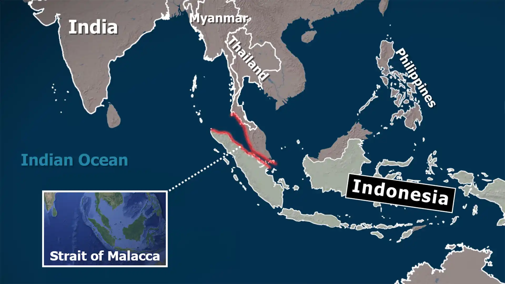
The Strait of Malacca is a narrow sea lane between the Malay Peninsula and the Indonesian island of Sumatra. About 800 km long and only 65 km wide at its narrowest, it connects the Andaman Sea (Indian Ocean) with the South China Sea. As one of the world’s busiest shipping routes, it carries much of Asia’s trade and energy supplies. During the northeast monsoon, cyclonic circulations often develop over the strait and sometimes track westwards into the Bay of Bengal.
Latest developments and implications
- According to meteorologists, the circulation over the strait on 20 November extended up to the mid‑troposphere (5.8 km). Moisture drawn into the system could lead to the formation of a low‑pressure area by 22 November and possibly a depression by 24 November.
- No formal cyclone alert had been issued, but fishermen and coastal communities were advised to stay informed about evolving weather forecasts. The system may bring rain and gusty winds to parts of Odisha and West Bengal.
- Such disturbances remind authorities of the need for early warning systems. The narrowness and heavy traffic of the Strait of Malacca make it vulnerable to high seas and accidents when storms develop.
- Historically, the strait has been a critical maritime chokepoint. Control of these waters affects global trade; thus, both economic and weather‑related events in this region have wide‑ranging implications.