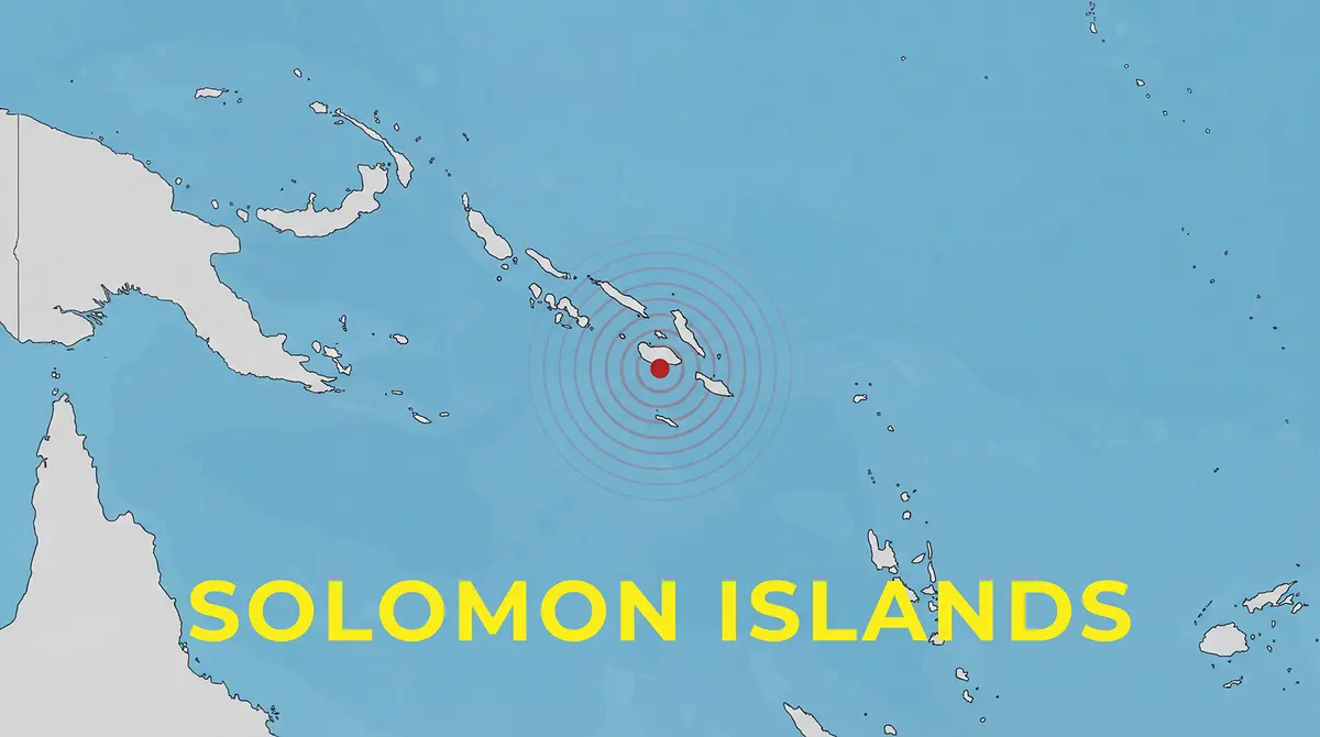
Why in News? On 6 March 2026, a strong earthquake with a magnitude of about 6.7 struck in the waters south‑east of the Solomon Islands. The quake was centred roughly 181 kilometres south‑east of the island town of Kirakira and originated 10 kilometres beneath the seabed. It did not trigger a major tsunami but highlighted the frequent seismic activity in the Pacific region.
Background
The Solomon Islands is an archipelago nation in the South Pacific Ocean, east of Papua New Guinea. It consists of hundreds of islands, and earthquakes are common because it sits on the “Ring of Fire”, a zone where several tectonic plates meet. The islands gained independence from Britain in 1978 and have a parliamentary democracy. The capital is Honiara, located on the island of Guadalcanal.
Details
- The quake struck at 06:53 AM local time on 6 March 2026. Its epicentre was in the ocean, south‑east of Kirakira on the island of Makira.
- The United States Geological Survey measured the magnitude at 6.7, while local agencies reported slightly different values. The depth was shallow (around 10 km), which tends to produce stronger shaking near the surface.
- There were no immediate reports of significant damage or casualties, although smaller tremors continued in the region. Because the quake occurred offshore, the risk of a large tsunami was low, but residents were advised to stay alert.
- The Solomon Islands lie along the boundary between the Australian and Pacific tectonic plates. Subduction of one plate beneath the other generates frequent earthquakes and volcanic activity.
Earthquakes remind island nations to improve building standards, early warning systems and disaster preparedness. The government and regional partners are working to strengthen resilience against natural disasters.

