Why in news?
The Malaprabha River in Karnataka has reportedly dried up, causing severe hardship for farmers and towns dependent on its waters. Photographs and local reports show barren riverbeds and struggling aquatic life. The river’s decline has revived discussions about water management and conservation in the state.
Background
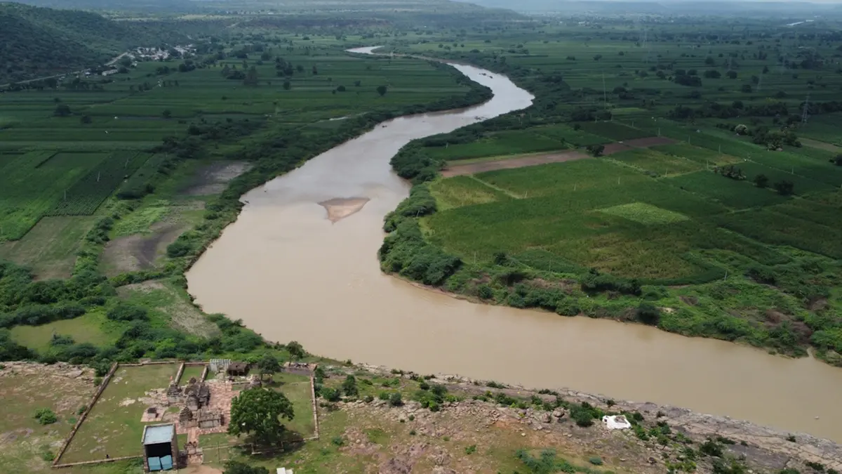
The Malaprabha is a major tributary of the Krishna River. It originates near the village of Kanakumbi in Belgaum district at an elevation of about 792 metres in the Western Ghats. From there it flows eastward for roughly 300 kilometres through Karnataka before joining the Krishna at Kudala Sangama. The catchment area is around 11,500 square kilometres. Important sub‑tributaries include Bennihalla, Hirehalla and Turpihalla. The Renukasagar (Naviluteerth) Dam across the river supplies water to towns like Dharwad.
Reasons for drying
- Reduced rainfall: Deficient monsoon rains and irregular rainfall patterns have reduced the river’s flow. Climate change and land‑use changes in the Western Ghats are believed to affect the catchment.
- Over‑extraction: Excessive withdrawal for irrigation and drinking water, combined with encroachments on riverbanks, has reduced base flows.
- Dam management: Storage in the Renukasagar dam is low due to poor inflows, limiting releases downstream for agriculture and ecosystems.
Impact
- Drinking water: Towns such as Dharwad face shortages; water tankers have been deployed to meet demand.
- Agriculture: Farmers along the Malaprabha depend on the river for irrigation. Dry channels have forced farmers to reduce planting or switch to less water‑intensive crops.
- Culture and ecology: Historic sites like Aihole, Pattadakal and Badami lie on the riverbanks. Drying up threatens the local ecology and cultural tourism.
Conclusion
The Malaprabha’s decline highlights the vulnerability of rivers in semi‑arid regions. Restoring flows will require catchment protection, efficient water use, reforestation in the Western Ghats and better dam management. Long‑term planning is necessary to balance water supply for people, agriculture and ecosystems.