

Why in news?
A German–Turkish scientific team completed the first detailed geophysical survey of Mount Ararat’s summit glacier.
What the expedition did
The team worked above 5,000 metres for about two weeks. It used ground radar and active seismic measurements. These methods estimate ice thickness and internal structure. The findings will help select a safe and useful drilling site.
The expedition did not yet recover the proposed deep ice core. It completed the necessary survey stage first.
Researchers came from German and Turkish institutions. The Alfred Wegener Institute coordinated the field work with university partners.
Geographical setting
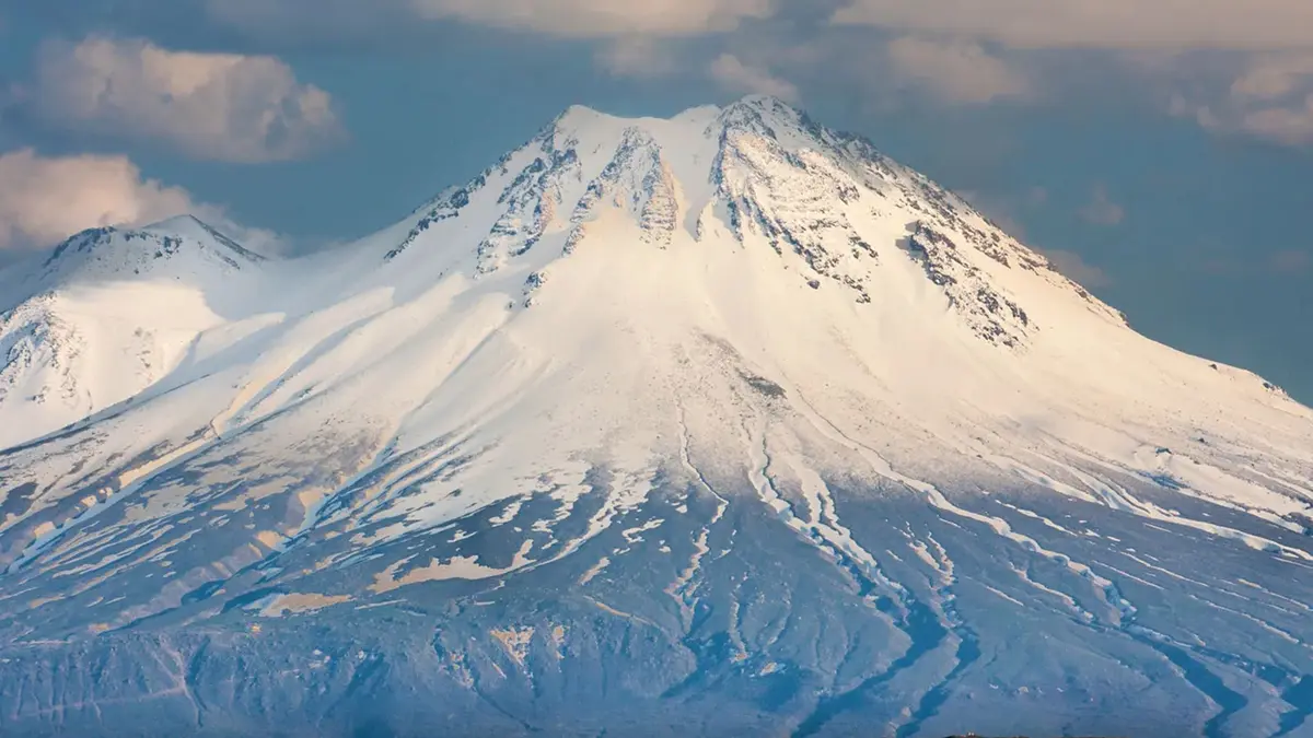
Mount Ararat rises to 5,137 metres in Ağrı Province, eastern Türkiye. It is the country’s highest mountain. The volcanic massif stands near Türkiye’s borders with Armenia and Iran. This position connects Anatolia, the Caucasus and West Asia.
Its summit ice is Türkiye’s largest glacier. United States Geological Survey imagery shows substantial retreat since the late twentieth century.
The mapped area fell from about 8.9 square kilometres in 1977 to 5.3 in 2013.
Remote sensing also helps separate long-term retreat from short seasonal changes. Field measurements can then test the mapped boundary.
Why an ice core matters
Layered ice can preserve atmospheric particles and chemical signals. Dating them may reveal past climate and environmental conditions.
Scientific value and limits
Ararat lies between established ice-core regions in the Alps, Caucasus and Asian high mountains. It may fill a geographical evidence gap.
A successful core could record volcanic material, dust and changing moisture sources. The usable record depends on ice preservation.
Melting can disturb annual layers and move chemical signals. Survey data therefore matter before expensive drilling begins.
The research also shows why small mountain glaciers deserve attention. They supply local water information and preserve fragile climate archives.
Glacier retreat can also affect hazards and cultural landscapes. Local monitoring should continue beyond a single expedition.
Survey before drilling
Careful geophysics reduces risk and improves sample value. The eventual core must be interpreted with regional climate records.
Conclusion
The Ararat survey is an enabling scientific step, not a completed climate record. Its importance lies in locating recoverable evidence.