

Why in news?
A wildfire spread across Mount Bromo’s national park during early August; authorities closed the park to visitors on 8 August. By 9 August, officials reported about 176 hectares burned. Difficult terrain, dry vegetation and strong winds complicated firefighting.
The fire response
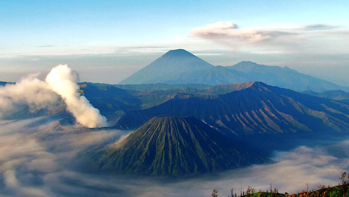
Mount Bromo lies inside Bromo Tengger Semeru National Park in East Java. It is among Indonesia’s best-known tourist landscapes. The fire began earlier in the week and initially covered about 60 hectares. Its reported extent then increased rapidly.
Hundreds of firefighters, soldiers, police, rangers and volunteers joined the response. Helicopters, drones and firebreaks supported teams on the ground.
Some hotspots lay on steep volcanic slopes; that terrain limited access and made aerial water drops especially important.
Officials had not established the fire’s cause by 9 August. Any claim of deliberate ignition therefore remained unsupported at that stage.
Wildfire is not an eruption
The current emergency involved burning vegetation around Mount Bromo. Authorities did not attribute the fire to volcanic activity. Volcanic and wildfire hazards require separate monitoring. Conflating them can spread unnecessary alarm and weaken public instructions.
The volcano beneath the landscape
Bromo is a cinder cone within the much larger Tengger volcanic complex. Indonesia’s geological agency places its summit at 2,329 metres; the Smithsonian Institution describes Tengger as a broad caldera system. Its younger Sandsea caldera contains several post-caldera cones.
Bromo is the youngest active cone in that group. Documented eruptive activity extends back several centuries.
Indonesia’s volcanism reflects subduction along the Sunda arc. The Indo-Australian Plate descends beneath the Eurasian margin in this region.
This tectonic setting explains the volcano, but not the vegetation fire; the two hazards merely occupy the same sensitive landscape.
Why the fire spread
Indonesia was experiencing an unusually dry season. Its meteorological agency expected August and September to carry elevated fire danger. Dry grasses ignite easily and allow flames to travel quickly. Strong winds then carry heat and embers across natural breaks.
Climate variability can intensify these conditions; however, attributing one fire to climate change requires a dedicated scientific assessment.
Tourism increases exposure because visitors and workers enter a hazardous landscape. Closure protects people and keeps access routes available for responders.
Ecological and cultural stakes
Highland grasslands support specialised plants and wildlife. Repeated severe fires can alter soils, erosion and vegetation recovery. The wider landscape also holds deep meaning for the Tengger people. Their Yadnya Kasada observance is associated with Bromo’s crater.
Risk management must therefore join ecology, livelihoods, tourism and cultural practice; a simple visitor ban cannot address every concern.
Conclusion
The Bromo fire shows how extreme dryness can turn a famous landscape into a difficult emergency. Accurate hazard communication is essential. Recovery will require fire investigation, ecological monitoring and careful reopening. Volcanic surveillance must continue through the separate geological system.