Why in news?
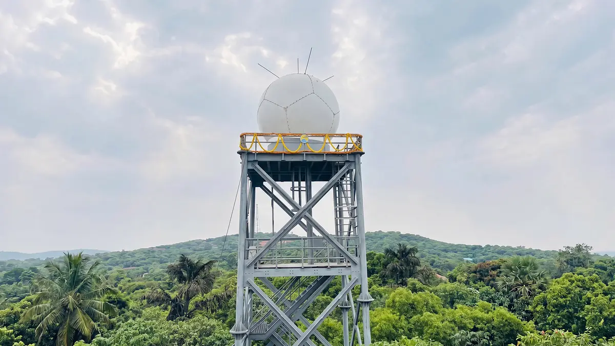
On 24 April 2026 the Indian Institute of Tropical Meteorology (IITM) commissioned an X‑band dual‑polarisation Doppler Weather Radar at its High Altitude Cloud Physics Laboratory in Mahabaleshwar, Maharashtra. The new radar, installed at an altitude of about 1,400 m in the Western Ghats, enhances short‑range forecasting (nowcasting) and research on monsoon dynamics and orographic rainfall.
Background
Doppler weather radars use the Doppler effect to measure the motion of raindrops and other particles. A radar emits pulses of microwave energy; when these waves encounter precipitation, some energy is scattered back to the receiver. By analysing frequency shifts in the returned signal, meteorologists can determine the velocity of hydrometeors (rain, snow, hail) and infer wind patterns.
How Doppler weather radars work
- Pulsed transmission: A transmitter sends out radio waves of a known frequency. When the beam strikes droplets or particles, part of the energy is reflected back to the radar.
- Doppler shift: If the target is moving toward or away from the radar, the frequency of the returned signal shifts slightly. By measuring this shift, the radar calculates radial velocity.
- Dual polarisation: The Mahabaleshwar radar can emit and receive horizontally and vertically polarised waves. This allows it to distinguish between raindrops, hailstones and melting snow by comparing their shapes and orientations.
Features of the Mahabaleshwar radar
- Frequency band: It operates in the X‑band (around 9.4 GHz), which provides high spatial resolution but is limited to a coverage radius of about 150 km—ideal for localised nowcasting.
- Solid‑state design: The radar uses modern solid‑state power amplifiers, improving reliability and reducing maintenance compared with legacy klystron‑based systems.
- Altitude advantage: Mounted at 1,400 m, the antenna has an unobstructed view over the rugged Western Ghats, enabling better monitoring of orographic clouds, fog and deep convection.
- Research collaboration: IITM signed a memorandum of understanding with the Indian Space Research Organisation’s Space Applications Centre to jointly develop satellite‑radar products, merging ground and space observations.
Applications
- Nowcasting: The radar provides near‑real‑time data for predicting rainfall, thunderstorms and cloud movements up to three hours in advance—crucial for disaster preparedness in the Konkan, Pune and Mumbai regions.
- Research: Scientists can study the structure of deep convective clouds, microphysical processes in monsoon systems and the impact of complex terrain on rainfall.
- Hydrometeor classification: Dual‑polarisation measurements help differentiate between rain, graupel and hail, improving quantitative precipitation estimation for agriculture and water management.
Sources: News On Air

