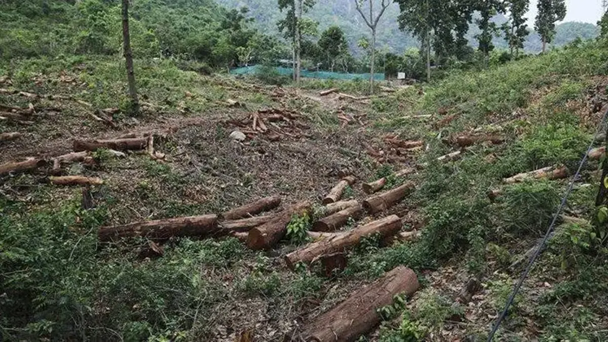
Why in news?
The Forest Survey of India (FSI) has paused its AI‑based Anavaran‑Deforestation Alert System, which had been sending fortnightly alerts to states about possible loss of forest cover. Data on the portal have not been updated since November 2025, and officials say they are evaluating the pilot project’s usefulness. The halt has raised questions about the future of near‑real‑time forest monitoring.
Background
The Forest Survey of India was set up in 1981 as the successor to the Pre‑investment Survey of Forest Resources. Headquartered in Dehradun under the Ministry of Environment, Forest and Climate Change, it is responsible for assessing India’s forest cover using satellite imagery and field surveys. One of its mandates is to compile the biennial State of Forest Report, and it also operates forest fire alert systems.
The Anavaran portal was launched as a pilot in January 2024 to provide near‑real‑time deforestation alerts. It uses Google Earth Engine to analyse high‑resolution Sentinel‑2 optical images and integrates Sentinel‑1 synthetic‑aperture radar data for cloudy seasons. Machine‑learning algorithms compare recent images with historical baselines for the same month to flag unusual loss of tree cover. Coordinates of detected patches are then shared with state authorities for on‑the‑ground verification. Between January 2024 and October 2025 the portal reportedly issued over 12,000 alerts, with Punjab, Andhra Pradesh and Arunachal Pradesh among the states receiving the most notifications.
Key points and significance
- Near‑real‑time monitoring: Unlike the biennial forest reports, the portal aimed to flag deforestation within a fortnight, enabling faster action by local authorities.
- Technology integration: Combining optical and radar satellite data allows monitoring even during cloudy or monsoon periods. Machine‑learning models reduce false positives by comparing seasonal patterns.
- Pilot status: FSI officials say Anavaran was never fully launched; the current pause allows them to gather feedback from states and refine algorithms. Some states hope the system will be reinstated because it complements traditional field inspections.
- Way forward: Experts suggest building capacity within states to analyse remote‑sensing data and integrating deforestation alerts with afforestation and forest‑protection programmes.
Source: The Indian Express – Forest Survey of India stops its AI‑based fortnightly alerts