Why in news?
Armenia has been in the headlines due to diplomatic engagements and regional tensions. A basic understanding of its geography and resources is useful for contextualising these developments.
Background
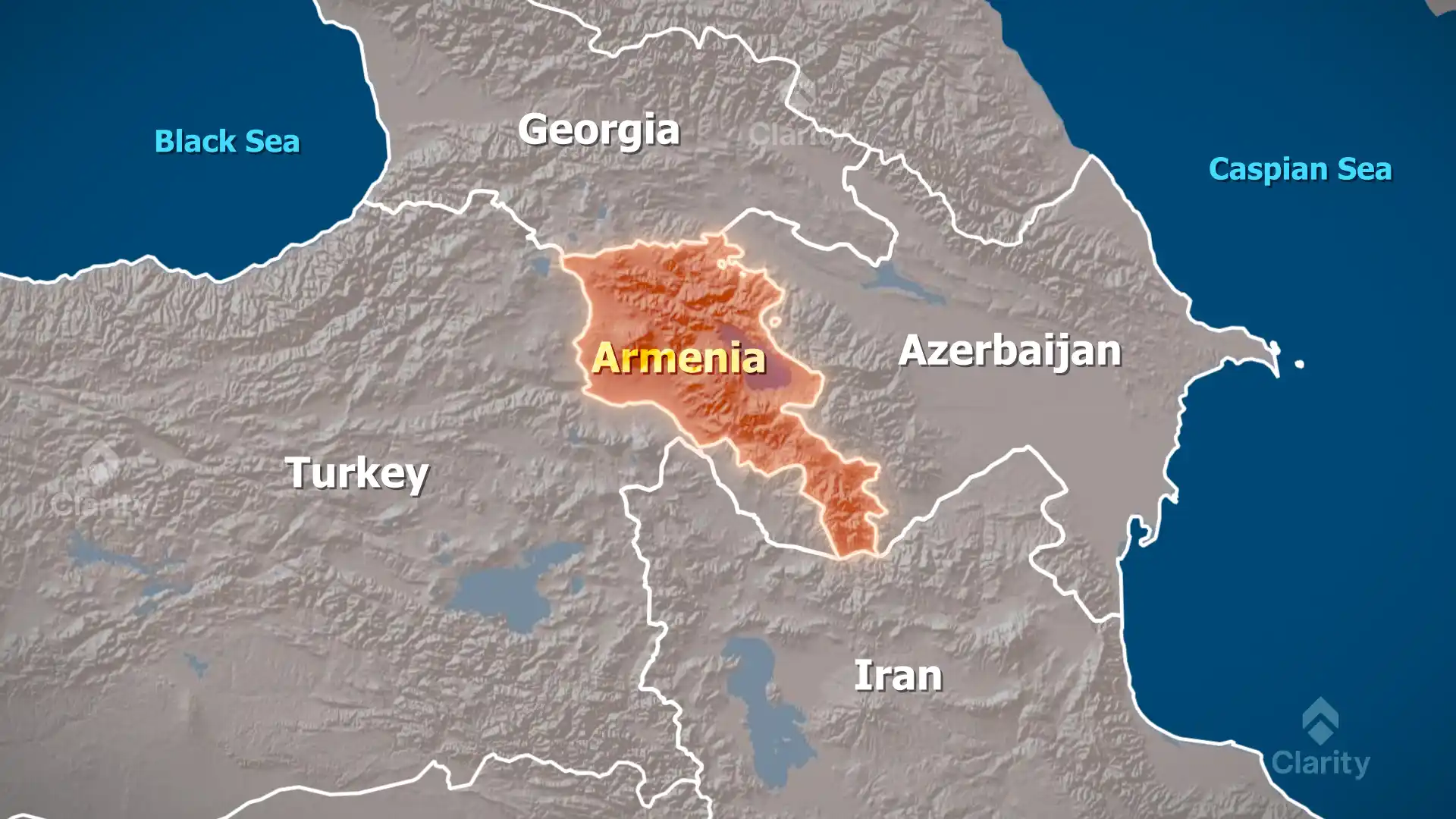
Armenia is a landlocked country in the South Caucasus region of Eurasia. It shares borders with Georgia to the north, Azerbaijan to the east, the Azerbaijani exclave of Nakhchivan and Iran to the south, and Turkey to the west. Covering about 29,740 square kilometres, Armenia is slightly smaller than Belgium. The country lies predominantly on the Armenian Plateau, with an average altitude of 1,800 metres above sea level and rugged mountains forming part of the Lesser Caucasus range.
Geographical features
- Mountains: The highest point is Mount Aragats (4,090 m), an extinct volcano whose snow‑capped peaks dominate the landscape. The terrain consists of folded ranges separated by valleys and basins.
- Rivers and lakes: Major rivers include the Aras (which forms part of the border with Iran and Turkey), the Hrazdan, the Arpa and the Vorotan. Lake Sevan, one of the world’s largest high‑altitude freshwater lakes, lies in central Armenia and is vital for fisheries, irrigation and tourism.
- Climate: Armenia experiences a continental climate with hot summers and cold winters. Elevation and topography create significant variations in temperature and precipitation across short distances.
Natural resources
- Minerals: Armenia possesses deposits of copper, iron, bauxite, molybdenum, gold, silver, lead and zinc. It also has abundance of building stones such as pumice, marble, tufa and limestone.
- Agriculture: Although much of the terrain is mountainous, fertile valleys support crops like grapes, apricots and wheat. Animal husbandry is important in highland areas.
- Energy: The country lacks significant fossil fuels. Hydropower is a major source of electricity, complemented by the Metsamor nuclear power plant near Yerevan.
Significance
- Strategic location: Armenia sits at the crossroads of Europe and Asia, bordering several geopolitically sensitive regions. Its location influences trade, energy routes and security dynamics.
- Environmental challenges: Deforestation, soil erosion and mining impacts are ongoing concerns. Sustainable management of Lake Sevan and mountain ecosystems is a priority for the government.
- Cultural heritage: As one of the world’s oldest Christian nations, Armenia boasts monasteries and archaeological sites that attract pilgrims and tourists.
Conclusion
Armenia’s mountainous terrain and resource profile shape its economy and foreign policy. Understanding the country’s geography provides context for its domestic challenges and regional interactions.
Source: NIE