

Why in news?
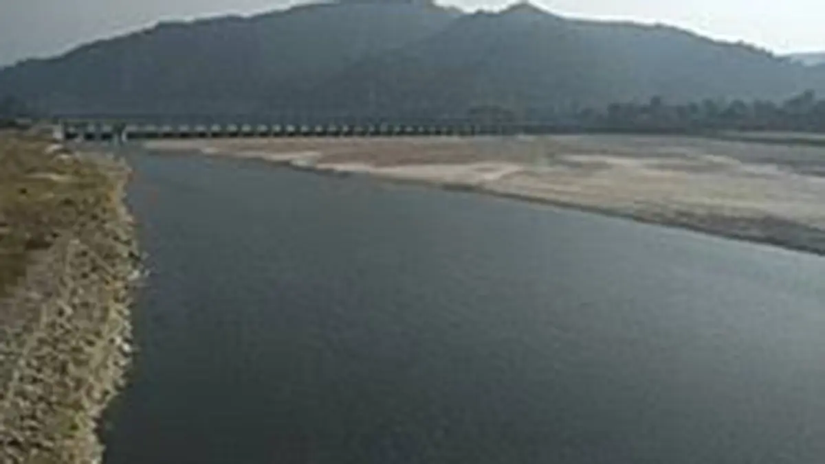
The Bagmati overflowed in Nepal after heavy rain on 25 September, according to India TV's coverage of the flooding. Nepal's Department of Hydrology and Meteorology linked the wider spell to a weather system developing from the Bay of Bengal. Landslides also blocked or restricted major highways, disrupting access to and from Kathmandu. The Bagmati carries water from the hills around Kathmandu through southern Nepal and into Bihar, making its geography important beyond the capital. The immediate concern was rising water and unsafe travel, not a confirmed new casualty total. The episode shows how rainfall, urban drainage and downstream river conditions combine to shape flood risk.
Following the river from its source
The Bagmati rises at Bagdwar in the Shivapuri hills, north-east of Kathmandu. It flows through the Kathmandu Valley and leaves through the Chovar area to the south. Its tributaries, including the Bishnumati, collect water from different parts of the valley. The visible channel is therefore only part of the system. It receives the combined effects of rainfall and land use across its catchment.
From the hills, the river continues towards Nepal's southern plains and crosses into Bihar. Its downstream drainage belongs to the Kosi system, which joins the Ganga. It should not be described as ending in the neighbouring Burhi Gandak. Bihar's water-resources records distinguish the Bagmati-Adhwara and Burhi Gandak basins, and identify Bagmati within the Kosi's tributary network. Nearby rivers can share a floodplain without having the same course.
The change in terrain matters. Steeper upland sections can carry runoff rapidly towards lower ground. Across flatter plains, water spreads through a landscape where channel capacity, drainage and the timing of tributary flows become especially important. A high reading at one location does not describe conditions everywhere. Flood understanding requires a connected view of the basin, while retaining the differences between its hill, valley and plain sections.
What caused the September warning?
The Kathmandu Post reported that the weather system had moved over Chhattisgarh and was affecting Nepal. Forecasters expected heavy rain across several provinces, with the strongest conditions shifting as the system moved. Their warning covered multiple river basins, not only the Bagmati. References to Bagmati Province also describe an administrative area; they should not be treated as measurements for every point on the Bagmati River.
The same reporting identified small rivers as a particular concern for rapid rises and flash flooding. A forecast identifies conditions under which danger is likely to increase. It is different from a completed damage assessment. Rainfall observed at one station also cannot be applied uniformly across a province. These distinctions are essential when an evolving weather event is condensed into national headlines.
Why heavy rainfall can disrupt both rivers and roads
Rain reaching the ground can infiltrate soil, collect temporarily or run towards streams. When rainfall is intense or the ground is already wet, a larger share can become runoff. River levels then depend on how quickly that water arrives and how much the channel can carry. In a built-up valley, drainage arrangements and the space left for water add another layer to that physical process.
On hillsides, prolonged rain can also destabilise slopes. The September reports described landslides affecting the BP and Prithvi highways, the Narayanghat-Muglin road and Kanti Lokpath. These disruptions matter even for people whose homes are not flooded. A blocked route can interrupt work, supplies and access to assistance. River warnings and road information therefore need to be read together during a widespread rainfall event.
Urban pressures do not disappear during a flood
The Bagmati has long faced pollution and encroachment pressures in the Kathmandu Valley. A Nepalese river-development study describes untreated sewage, solid waste and infrastructure occupying river space among the problems. River restoration consequently involves more than making the banks visually attractive. It requires managing wastewater, protecting the channel's functioning and coordinating development across the tributary system.
Flooding and pollution are related but distinct challenges. High water can carry waste into new areas, while low flows can leave pollution less diluted. Cleaning one stretch does not remove upstream discharges, and building a protective structure does not eliminate every flood pathway. An integrated approach must consider water quality, the room available for flows and the people living or working nearby.
The river also passes places of cultural and religious importance, including Pashupatinath in Kathmandu. This adds another reason to protect its condition, but cultural value does not change its hydrology. Riverbank use must coexist with the space and drainage the river needs. Restoring that balance requires practical decisions about infrastructure, wastewater and land use, not only declarations about the river's significance.
Why downstream coordination matters
Once a river crosses a national border, the water arriving downstream reflects conditions beyond a single administration's territory. Bihar's basin records describe the Bagmati-Adhwara system as extending across Nepal and India. Upstream rainfall information can therefore help downstream preparedness. However, the timing and height of a flood also depend on local tributaries, channel conditions and rainfall within Bihar itself.
The useful operational question is where water is rising, how quickly it may travel and which communities or routes are exposed. That requires updated observations and communication, not an assumption that every upstream flood produces the same downstream result. On 26 September, the warning described a developing situation. Its eventual impact would depend on subsequent rainfall, river conditions and protective action.
Conclusion
The Bagmati episode connects an immediate weather warning with the river's wider geography. Rain in Nepal's hills and valley can affect local roads and settlements before contributing to downstream flows in Bihar. Preparedness depends on that basin-wide connection, alongside attention to local drainage and exposure. Accurate forecasts, open communication and protection of river space remain more useful than treating flooding as an isolated rise in one urban channel.