

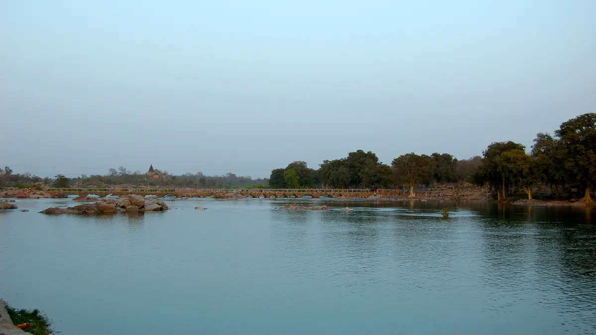
Why in news?
Heavy rainfall and dam releases raised the Betwa River in Madhya Pradesh. Low-lying parts of Vidisha district faced flood-like conditions and rescues.
River geography
The Betwa rises in Madhya Pradesh and flows north-eastwards into Uttar Pradesh. It joins the Yamuna near Hamirpur after roughly 590 kilometres. The Yamuna then carries its water into the Ganga system. This makes the Betwa an interstate river within the Ganga basin.
Vidisha and Ganj Basoda lie along its middle reaches. Orchha and Jhansi are prominent settlements farther downstream.
Why water levels can rise quickly
Intense basin rainfall increases runoff from fields, towns and tributaries. Saturated soil absorbs less water and accelerates the river’s response. Reservoir releases can add another pulse downstream. Operators must therefore share warnings before releases reach exposed settlements and crossings.
Flood danger depends on level, rate of rise and local terrain. A single district rainfall total cannot explain every downstream impact.
From warning to local action
The Central Water Commission operates forecasting and observation systems. State agencies translate warnings into evacuation, traffic control and relief decisions. Villages need understandable lead times and clearly marked safe routes. Bridge closures must occur before overtopping or strong cross-currents make travel unsafe.
Floodplain mapping should guide settlement and infrastructure choices. Embankments alone can shift risk if drainage and downstream effects are ignored.
Interstate data sharing becomes vital as flows enter Uttar Pradesh. Reservoir schedules and forecasts should use one consistent basin-wide picture.
Land-use change can increase runoff even without record rainfall. Wetlands, open soil and natural drainage therefore belong within flood planning.
After the waters recede, agencies should review warning times and evacuation barriers. Public findings can improve reservoir rules before the next monsoon.
Evacuation plans must include older people, children, livestock and medicines. Relief design should recognise that flooded households can lose both shelter and livelihoods. Recovery support must therefore restore documents, local credit, farm inputs and transport alongside damaged homes and public facilities.
Dam safety includes downstream communication
A technically justified release can still cause harm without timely warning. Operating rules and last-mile alerts must function together.
Conclusion
The Betwa episode shows how rainfall and reservoir operations interact. Better forecasts matter only when local institutions act before access disappears.