

Why in news?
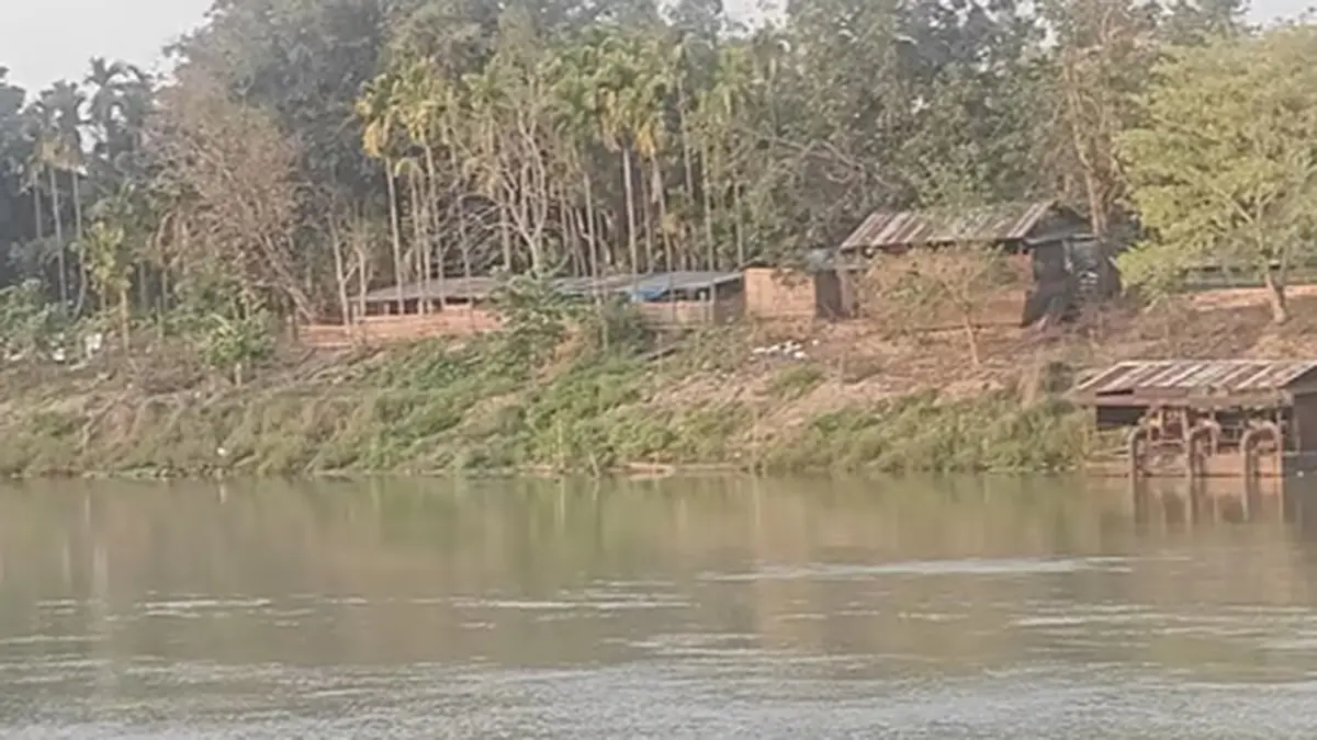
Parts of Assam’s Golaghat district flooded on 7 August 2026; the Dhansiri and Doyang river systems had swollen. The Dhansiri was reported above its danger level. Low-lying villages in Bokakhat, Golaghat and Khumtai were affected.
Families moved to relief camps. Officials partly linked the sudden rise to four opened Doyang project gates.
The hydropower project lies upstream in Nagaland. Heavy inflow was also part of the reported situation.
The river and its basin
The river in this report is the Dhansiri South; it is commonly called the Dhansiri. It should not be confused with the North Dhansiri; that is another Brahmaputra tributary system.
Golaghat district records the river’s origin near Laisang Peak in Nagaland; it flows roughly 352 kilometres.
The course runs generally from south to north before joining the Brahmaputra. Tributaries include the Doyang, Nambor, Doigrung and Kalioni.
The river links Nagaland’s hill catchments with Assam’s plains and wetlands. Upstream rain may therefore arrive downstream after a delay. Local rainfall and saturated soil can add to the peak. Tributary inflow and constrained drainage create further pressure.
One gauge cannot explain flooding across a large alluvial valley. Embankment condition and siltation shape the spread.
Roads, settlement patterns and blocked channels also affect drainage; the Brahmaputra’s level may influence how quickly water recedes.
Danger level and what it does—and does not—mean
The Central Water Commission uses station-specific danger levels; they act as operational thresholds for monitoring and warnings. Crossing one indicates serious risk around that gauge; it is not a universal depth or a full inundation map.
Ground impact depends on the river cross-section and embankments; local elevation also affects exposure.
The rate and duration of the rise matter; a short exceedance differs from a prolonged high level.
A low-lying settlement may flood before a distant gauge crosses its threshold. Local observation therefore remains important. Warnings should combine gauge data and forecasts with rainfall radar. Reservoir inflow and outflow data add essential context.
Village-level elevation and field reports can identify actual exposure. Messages should explain when water may arrive.
Residents need to know which roads and settlements face risk. Authorities should name open shelters and recommended actions.
A technically correct number may still be a weak warning; people need local meaning and enough lead time.
Do not reduce the event to “four gates were opened”
Gate opening describes an operation, not the full cause of flooding. A fair assessment needs the incoming flow and reservoir level. Release volume, timing and operating rules also matter. Downstream rain and channel conditions complete the picture.
Large inflows may require releases for dam safety; the key question is whether they were anticipated and coordinated.
Downstream authorities and communities need early communication. Operational data should support any later attribution.
The role of the Doyang system
The Doyang is a major Dhansiri tributary; it also hosts a hydropower project in Nagaland. A reservoir can moderate some peaks when storage is available; it cannot absorb unlimited inflow.
Operators balance electricity generation, water storage and structural safety; a high reservoir has less room before intense rain.
That reduces its ability to cushion the flood peak. Abrupt downstream changes can still be dangerous.
This remains true even when a release meets safety rules. Timing and warning determine downstream readiness. Real-time inter-State coordination is therefore essential. Nagaland’s dam operators and Assam’s disaster authorities need a shared protocol.
District administrations and the Central Water Commission also have roles; the protocol should cover forecast rainfall and reservoir levels.
Planned and emergency releases need defined warning times; public communication should use common and verified data.
Automated gauges and sirens can help. Communication must still work when power or networks fail. Local officials, mobile alerts, volunteers and radio provide useful redundancy. No single channel is enough.
From relief to flood resilience
Immediate priorities include evacuation and safe shelters; people need clean water, food and medicines. Livestock support can protect household livelihoods. Authorities must also address electrocution, contaminated water and snakebite.
Relief camps should be accessible to women, children and older people. Persons with disabilities need suitable facilities.
Privacy and maternal-health support are essential. Rapid loss documentation can speed assistance for homes, crops and livestock.
Long-term resilience requires a basin approach. Embankments protect settlements but can also transfer risk; they may trap local drainage and cause severe harm after a breach. Transparent inspection and maintenance are necessary.
Emergency repair alone is insufficient. Restored wetlands and natural channels can store some floodwater.
New construction should avoid the most hazardous floodplain. Raised shelters and resilient roads can preserve access.
Repeated severe flooding may make protection impractical in some locations. Any relocation should remain voluntary and consultative. Compensation must be fair and linked with livelihood recovery. Moving people without support simply shifts vulnerability.
Climate change increases intense-rainfall risk in many regions. No single flood proves that attribution.
A formal study would be needed for a specific causal claim. Planning should still account for changing extremes and uncertainty.
Updated rainfall assumptions can improve design; reservoir operating reviews and local inundation maps provide further evidence. Post-event data should feed future preparation. Historical averages may no longer cover the full range of risk.
Conclusion
The Golaghat flood is a connected-basin event. Hill rainfall, tributaries, reservoir operations and exposed settlements all require examination; the Doyang gate opening deserves transparent review. It is not a complete causal explanation.
Better forecasts and inter-State release protocols are practical lessons. Local warnings and floodplain resilience must follow immediate relief.