

Why in news?
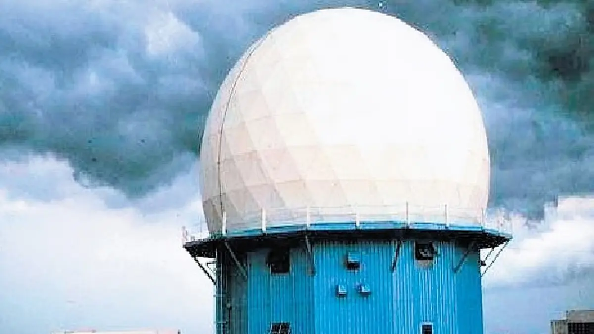
A Doppler weather radar was inaugurated at Sambalpur in western Odisha on 17 September 2026. The Ministry of Earth Sciences described it as India’s 51st such radar and Odisha’s third, after Gopalpur and Paradip. The instrument sends radio pulses into the atmosphere and analyses returning signals to observe precipitation and motion within weather systems. Its addition is intended to improve tracking of storms over western Odisha and adjoining areas. The announcement forms part of the wider expansion of weather observations under Mission Mausam. Better observations can support earlier, more localised warnings, but the radar must work with other instruments, forecasting and public communication to produce that benefit.
How a radar locates rain
Radar is short for radio detection and ranging. Its antenna transmits electromagnetic pulses, and a receiver detects a small part of the energy scattered back. Raindrops, snow and hail can produce such returns. Measuring the time between transmission and reception helps estimate distance, while the antenna’s direction indicates where the observed material lies.
The strength of the return is expressed as reflectivity. It depends on the particles within the sampled part of the atmosphere, including their number, size and properties. A strong return can indicate substantial precipitation, but it is not a direct reading from a rain gauge. Converting reflectivity into a rainfall estimate requires assumptions and appropriate processing.
The radar scans at different directions and elevations to build a picture of the surrounding atmosphere. Successive scans help show how an observed storm is changing and moving. This is valuable because a single picture cannot establish a trend. Repeated observations can reveal development that would be missed by looking only at conditions at one weather station.
What “Doppler” adds
The Doppler effect concerns changes in a wave signal associated with relative motion. In weather radar, changes in successive returning signals reveal whether reflecting particles are moving towards or away from the instrument. Because precipitation is carried within the atmosphere, this provides information useful for interpreting wind patterns inside weather systems.
The key limit is that the measurement is radial velocity: motion along the radar’s line of sight. It is not the complete wind vector at every point. A particle moving across that line may have little measured motion towards or away from the radar. Meteorologists interpret patterns across the observed area rather than treating each colour as a complete wind measurement.
Some modern systems also use dual polarisation, transmitting and receiving differently oriented signals. Comparing the returns can help distinguish particle shapes and types, improving interpretation of precipitation. This is a general capability of dual-polarisation radar. It should not be assumed to describe every specification of the Sambalpur installation unless those specifications are separately documented.
Why another location matters
Sambalpur is an inland location in western Odisha, unlike the state’s existing coastal installations at Gopalpur and Paradip. The government expects the new observations to improve coverage of the western region and neighbouring areas. Radar networks gain value from the placement of instruments, not simply their total number. Nearby systems can provide different views of developing weather.
Earth’s curvature means that a radar beam generally samples higher above the surface as distance increases. At longer ranges, it can pass above shallow precipitation that is closer to the ground. Terrain can also block parts of a beam. A nearby instrument may therefore observe features that are less well represented from a more distant location.
Strong precipitation can weaken signals along their path, while calibration and other measurement issues affect estimates. These limitations do not make radar unhelpful; they explain why its products need informed interpretation. An empty-looking patch on a distant radar image is not sufficient proof that no rain is occurring near the ground there.
From measurements to useful warnings
Rain gauges measure precipitation at particular locations, while radar helps describe its spatial pattern. Other instruments observe temperature, moisture and winds through the atmosphere. Combining these sources gives forecasters a stronger basis than any one instrument alone. The September announcement explicitly connects radar expansion with a wider observation network, including automatic stations and rain gauges.
For a flood warning, observed rainfall is only part of the information needed. River conditions and the way a catchment responds also matter. A weather radar does not directly measure the depth of floodwater in a village. Its contribution is to improve the atmospheric information used alongside hydrological observations and local knowledge.
The final step is communication and action. A warning must reach the responsible authority and the people exposed, in language that explains the expected hazard. Its usefulness also depends on whether practical responses are possible. Better equipment supports this chain, but cannot replace staffing, maintenance, interpretation or preparedness at the receiving end.
Conclusion
Sambalpur’s radar adds a valuable inland observation point to Odisha’s weather network. The gain is a better view of developing weather, not an ability to predict every local event perfectly. Reliable operation, combined observations and understandable warnings will determine how much that improved view helps communities act before severe weather reaches them.