

Why in news?
India’s satellite‑based navigation system GAGAN enabled the first satellite‑based landing of a commercial jet in the country. On 27 June 2026, an IndiGo A320 aircraft landed at Udaipur airport using localiser performance with vertical guidance (LPV) procedures supported by GAGAN. The demonstration shows that satellite signals can guide aircraft safely without ground‑based landing aids.
Background
GAGAN stands for GPS Aided GEO Augmented Navigation. It is a satellite‑based augmentation system jointly developed by the Airports Authority of India (AAI) and the Indian Space Research Organisation (ISRO). The goal is to improve the accuracy, integrity and availability of GPS signals so that pilots can rely on them for all phases of flight. Work on GAGAN began in the early 2000s, and the system became fully operational in 2015.
How GAGAN works
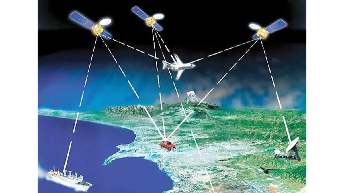
- Ground network: A series of reference stations across India monitor GPS signals and measure errors. The data is sent to master control centres to compute corrections and integrity messages.
- Geostationary satellites: The corrected signals are uplinked to geostationary satellites (currently GSAT-8 and GSAT-10; GSAT-15 carries a GAGAN payload as an in-orbit backup). These satellites broadcast the corrected information on the same frequency used by GPS. Aircraft equipped with GAGAN receivers pick up the enhanced signal.
- Interoperability: GAGAN follows standards set by the International Civil Aviation Organisation. It is interoperable with other satellite‑based augmentation systems such as WAAS (USA), EGNOS (Europe) and MSAS (Japan). Together they provide seamless navigation worldwide.
- Applications: GAGAN supports approach with vertical guidance (APV) procedures. It improves navigation in remote and hilly areas and reduces dependence on ground‑based instrument landing systems. It also benefits agriculture, surveying and maritime navigation.
Significance of the first LPV landing
The demonstration at Udaipur proves that GAGAN can guide an aircraft to land with precision comparable to Category I instrument landing systems. It allows airports without expensive ground equipment to offer safe approaches. For passengers, it means fewer diversions and more on‑time flights. For airlines, it saves fuel and reduces emissions. The success also opens avenues for similar procedures at many regional airports across India.
Conclusion
GAGAN is a major step towards self‑reliance in aviation navigation. By combining Indian ground infrastructure with geostationary satellites, the system provides accurate, dependable guidance for aircraft. The first LPV landing using GAGAN shows that satellite‑based navigation can enhance safety and efficiency in Indian skies.
Sources: IT