Why in news?
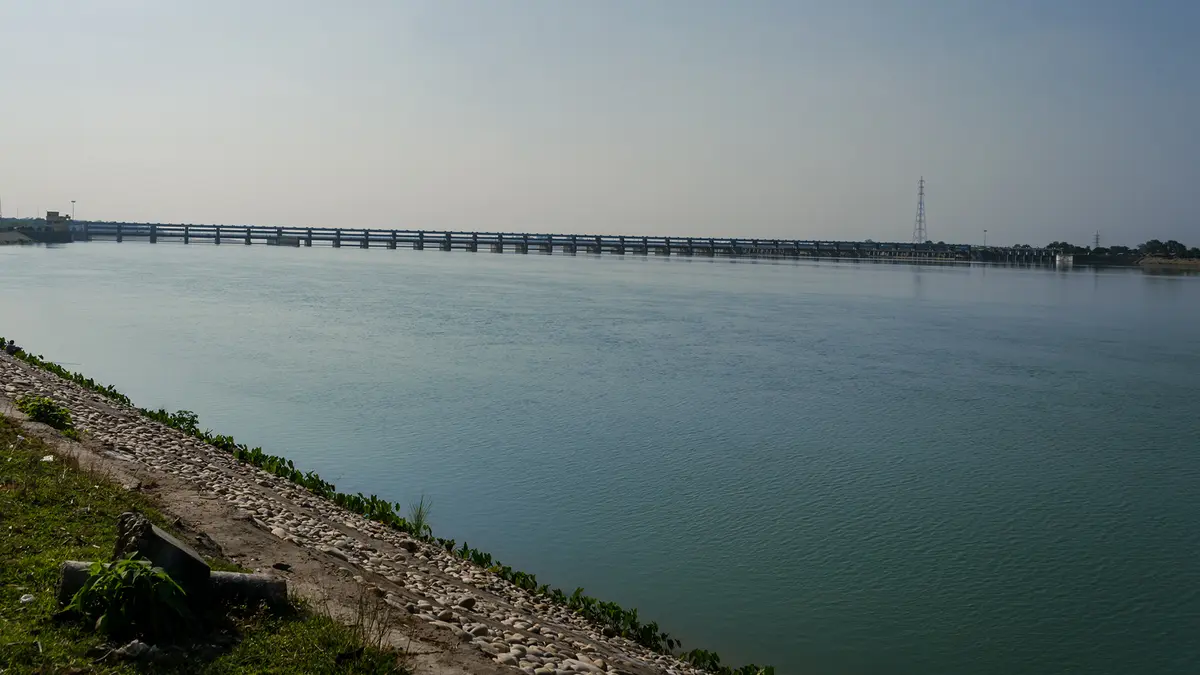
The Gandak crossed its local danger mark in Gopalganj district. Heavy rainfall in Nepal increased several north Bihar rivers. Bihar placed engineers and residents on heightened alert. Barrage discharge and downstream river levels require separate interpretation.
Background
The Gandak is a major transboundary Himalayan river. Its headwater network reaches Tibet, while the combined river crosses Nepal and India.
In Nepal, the main combined river is called the Narayani, and it becomes known as Gandak near the India-Nepal border.
The Gandak is a left-bank tributary of the Ganga, and it joins the Ganga near Sonpur and Hajipur, opposite Patna.
Origin correction: The Gandak system has several Himalayan headwaters. One single point at 7,620 metres cannot describe its whole origin.
How does the river system form?
- Several snow-fed and rain-fed rivers begin across the central Himalaya.
- The Kali Gandaki rises in Nepal’s Mustang region near the Tibetan border.
- The Trishuli River begins in Tibet before entering Nepal.
- Budhi Gandaki, Marsyangdi, Seti, Madi and Daraudi drain other valleys.
- These waterways form the broad Sapta Gandaki river system.
- Kali Gandaki and Trishuli meet at Devghat to form the Narayani.
- The Narayani flows south through Nepal’s inner Terai landscape.
- Near Triveni and Valmikinagar, it enters the plains as the Gandak.
Lists of the seven principal rivers sometimes vary by classification, and the name “Sapta” refers to seven major Himalayan branches.
The basin includes parts of the Dhaulagiri, Annapurna and Manaslu ranges, and all three contain peaks above 8,000 metres.
Kali Gandaki cuts a deep valley between Dhaulagiri and Annapurna. It is widely described as one of the world’s deepest gorges.
Unqualified claims calling it the absolute deepest are risky. Different measurements use river level, valley floor or nearby summit height.
What is its course in India?
The river reaches India beside Valmiki Tiger Reserve, and it initially forms part of the Uttar Pradesh-Bihar boundary.
It then passes through northwestern Bihar, and its influence extends across West Champaran, East Champaran, Gopalganj, Muzaffarpur and adjoining districts.
The channel finally joins the Ganga near Sonpur, and Hajipur stands across the river near this confluence.
The entire river is often described as roughly 630 kilometres long. Estimates vary because sources select different headwaters and names.
Its drainage basin covers approximately 46,300 square kilometres. The Kosi basin lies east, while Karnali-Ghaghara lies west.
Do not confuse: Gandak and Burhi Gandak are separate rivers. Burhi Gandak follows a different course farther east in Bihar.
Why does the Gandak carry much sediment?
The Himalaya are geologically young and steep, and intense monsoon rain quickly erodes loose rock and soil.
Landslides add more material during heavy rainfall, and the fast mountain river then carries this sediment towards the plains.
The slope becomes gentler after the river leaves the hills, and flow loses energy and deposits sand, silt and clay.
Over time, repeated deposits create a large fan-shaped plain, and channels may shift when sediment raises the existing river bed.
Embankments can protect selected areas, but they also confine sediment. Poorly maintained structures may create concentrated flood risks.
What happened during July 2026?
Heavy rain fell across several catchments in Nepal, and Gandak, Bagmati, Kamla Balan and Kosi levels responded downstream.
At a Gopalganj gauge, the Gandak moved two centimetres above danger level, and authorities warned nearby residents to remain vigilant.
One cusec means one cubic foot of water flowing each second, and it measures discharge rather than storage.
The Valmikinagar Gandak Barrage recorded 183,900 cusecs at noon. The previous night’s figure was higher, at 221,000 cusecs.
The Water Resources Department cancelled engineers’ leave and strengthened monitoring. People in vulnerable places were advised to move safely when necessary.
How can downstream water rise when barrage discharge falls?
River water needs time to travel between measuring stations. A downstream gauge may therefore receive an earlier high-flow wave later.
Local tributaries and rainfall can add more water below the barrage, and channel storage and embankments also affect the timing.
Therefore, a lower noon barrage figure does not guarantee an immediate downstream fall. Gauge records must be read by location and time.
Hydrology caution: Barrage discharge and downstream danger-mark crossing are different measurements. One reading alone does not prove causation.
What is a danger mark?
A danger mark is a station-specific reference level, and authorities establish it from local river and flood experience.
Crossing that mark signals increased risk and operational response, and it does not mean every nearby village is already flooded.
Gauge level measures water height at one location, and discharge measures the volume passing each second.
The same discharge can produce different levels across channels, and width, depth, sediment and obstructions influence the result.
What is the Valmikinagar Gandak Barrage?
India and Nepal signed the Gandak Agreement on 4 December 1959, and they amended parts of it during 1964.
The agreement supported irrigation, flood management and power cooperation, and the barrage was built near Bhaisalotan, now commonly called Valmikinagar.
Construction finished during the late 1960s, and eastern and western canal systems carry water into Nepal, Bihar and Uttar Pradesh.
A barrage has many gates across a river, and it mainly raises and regulates water for diversion into canals.
A storage dam generally creates a much larger reservoir, so barrage operation differs from long-term reservoir storage.
Which protected areas share this landscape?
Chitwan National Park lies along the Narayani in Nepal, and Valmiki Tiger Reserve lies near the Gandak in India.
Together, these forests form a connected Terai conservation landscape, and tigers, rhinoceroses, elephants and gharials benefit from riverine habitats.
Floods renew wetlands and deposit fertile silt. However, extreme floods can damage settlements, crops, roads and wildlife habitat.
How can flood risk be reduced?
- India and Nepal should exchange rainfall and discharge data quickly.
- Forecasts should include travel time between river gauges.
- Embankments and gates require inspection before every monsoon.
- Floodplain construction should follow reliable hazard maps.
- Warnings should reach villages in clear local language.
- Wetlands and natural channels should retain room for floodwater.
- Evacuation plans must include livestock, medicines and safe shelters.
Conclusion
The Gandak links Himalayan rain with Bihar’s floodplain. Timely shared data and clear measurement can convert warnings into effective protection.