Why in news?
The Indravati River made headlines after security forces engaged Maoist insurgents along its banks in Chhattisgarh’s Bijapur district on 26 February 2026, resulting in two deaths. The encounter underscored the strategic importance of this remote river corridor.
Background
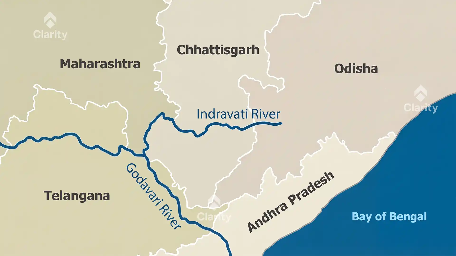
The Indravati River is a major tributary of the Godavari River in central India. It originates in the Dandakaranya Range near the village of Mardiguda in Odisha’s Kalahandi district at an elevation of about 914 m. Flowing westwards, it traverses the districts of Kalahandi, Nabarangapur and Koraput before forming the boundary between Odisha and Chhattisgarh and eventually joining the Godavari near the borders of Maharashtra, Chhattisgarh and Telangana. The river stretches roughly 535 km and drains an area of over 40,000 km².
Key features
- Forest corridor: Much of the river’s course passes through dense forests in Nabarangapur and the Bastar region, earning it the title “lifeline of Bastar”. The surrounding forests support diverse wildlife and tribal communities.
- Waterfalls and parks: The spectacular Chitrakote Falls — often called the “Niagara of India” — cascade on the Indravati near Jagdalpur in Chhattisgarh. The river’s banks also host the Indravati National Park, which protects endangered species like the wild buffalo.
- Tributaries: Major right‑bank tributaries include the Bhaskel, Narangi, Nimbra (Parlkota), Kotri and Bandia rivers, while the main left‑bank tributary is the Nandiraj.
- Hydropower projects: The Upper Indravati Hydro Power Project near Mukhiguda in Odisha diverts water from the river to generate electricity and irrigate fields. Several other proposed projects were shelved due to ecological concerns.
Significance
The Indravati provides water for agriculture, supports forests rich in biodiversity and acts as a natural boundary in conflict‑prone areas. Understanding its geography is important for managing natural resources and addressing security challenges in the region.
Sources: Times of India