Why in news?
The Ministry of Textiles announced on 11 May 2026 that the National Jute Board has been instrumental in deploying the Jute Crop Information System, an advanced platform for monitoring jute cultivation. Developed jointly with the Indian Space Research Organisation (ISRO) and the Jute Corporation of India, the system uses satellite data, weather analytics and field observations to produce near real‑time estimates of crop area and yield. It marks a shift toward data‑driven decision‑making in a sector long constrained by fragmented information.
Background
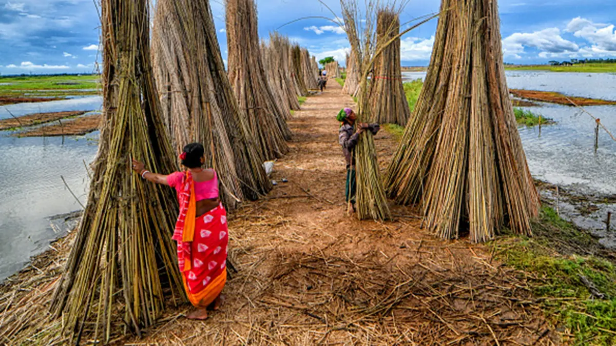
India is the world’s largest producer of raw jute, yet accurate information on crop area and productivity has historically been scarce. Estimates were often based on manual surveys and expert judgment, resulting in delays and discrepancies. In 2023 the National Jute Board began implementing JCIS to address these shortcomings. The system combines remote‑sensing imagery, weather data and ground‑level observations to deliver more reliable information on where jute is grown and how well it is performing.
Key features and impact
- BHUVAN JUMP mobile app: Field officers use this app to collect geo‑tagged data on planting dates, crop condition and varieties. The information feeds directly into the JCIS platform.
- PATSAN web platform: Short for “Prospective Assessment of Jute using Mobile App‑Based Field Observations”, this interface integrates satellite images, vegetation indices, weather analytics and historical datasets to provide near real‑time crop surveillance.
- Improved estimates: By combining multiple data streams, JCIS delivers more accurate estimates of crop area and production. The system also supports crop‑cutting experiments using smart sampling techniques, enhancing yield assessments.
- Risk assessment: Remote sensing allows the detection of flood damage, drought stress or pest outbreaks. Early warnings enable timely interventions and better targeting of support to affected farmers.
- Policy integration: Consistent, geo‑referenced data helps align state and national estimates and informs allocation of resources. Future plans include expanding the system to more districts, sending alerts to farmers via mobile phones and using analytics for water‑use and carbon‑footprint studies.