
Why in news?
The Centre informed Rajya Sabha about Gujarat’s proposed Kalpasar Project. Its Detailed Project Report is nearing finalisation. The plan combines water storage, transport and renewable energy. However, construction has not begun, and final approvals remain necessary.
Background
Kalpasar is also called the Gulf of Khambhat Development Project.
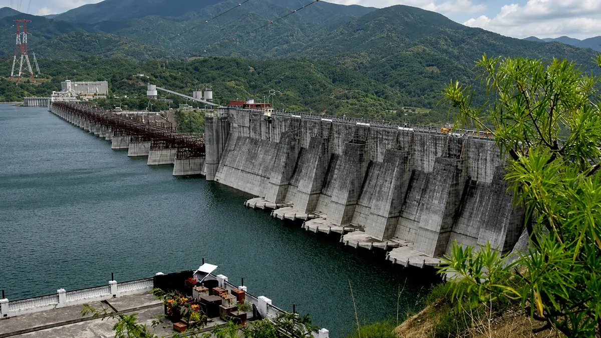
It proposes a large barrier across Gujarat’s Gulf of Khambhat.
The barrier would separate an inner reservoir from saline gulf water.
River inflows would gradually create freshwater behind that barrier.
Where is the Gulf of Khambhat?
The Gulf of Khambhat is a funnel-shaped inlet of the Arabian Sea.
It lies between the Saurashtra peninsula and mainland Gujarat, receiving the Sabarmati, Mahi, Dhadhar and Narmada.
The gulf experiences strong tides, currents and sediment movement, making any cross-gulf barrier unusually difficult.
How did the idea develop?
| Period | Development |
|---|---|
| 1980s | Experts proposed storing river water across the Gulf of Khambhat. |
| 1988-89 | A reconnaissance study examined the broad technical possibility. |
| 1990s onward | Gujarat pursued feasibility, environmental and engineering studies. |
| Later years | Officials revised alignments, capacities and project components. |
| 2026 | The Detailed Project Report reached an advanced finalisation stage. |
The name draws from Kalpavriksha, the mythical wish-fulfilling tree.
The long study period reflects the project’s exceptional scale and complexity.
How would the project work?
- A dyke would cross a suitable part of the gulf.
- Gates and outlets would manage water movement and flood flows, and river water would collect on the inner side.
- Salinity would reduce after controlled flushing and freshwater accumulation, and pumping systems would move stored water toward demand areas.
- A transport corridor would use the dyke alignment.
Current official features
| Feature | Current official position |
|---|---|
| Reservoir | Proposed as one of the world’s largest coastal freshwater reservoirs |
| Main beneficiary | Water-stressed Saurashtra region |
| Transport | Highway-cum-rail corridor across the proposed dyke |
| Renewable energy | About 2,470 megawatts of proposed hybrid capacity |
| Project status | Detailed Project Report under finalisation |
| Technical cooperation | Ongoing cooperation between India and the Netherlands |
Why do published design figures differ?
Kalpasar has passed through several configurations, including an older 64-kilometre barrier and 2,000-square-kilometre reservoir concept.
Some later reports discussed roughly 13,000 million cubic metres of storage.
Other technical documents used shorter alignments and different capacities.
The official July reply did not confirm a final dyke length or storage volume.
It also did not confirm earlier irrigation-area estimates as final outcomes.
How would connectivity improve?
The proposed corridor would connect Saurashtra with South Gujarat more directly.
Bhavnagar to Surat currently requires about 356 kilometres by land, while the proposed route would measure about 177 kilometres.
This change would reduce the journey by approximately 179 kilometres.
Shorter travel could lower freight time, fuel use and logistics costs.
What is the renewable-energy proposal?
The project envisages about 2,470 megawatts of hybrid renewable capacity.
Facilities would use land presently submerged during high tides, while generated electricity could power freshwater pumping.
The final energy mix and layout still depend on project approvals.
Why is Dutch cooperation relevant?
The Netherlands has long experience with dykes and low-lying coastal areas.
Cooperation covers coastal engineering, hydraulic modelling, salinity management, climate resilience and water planning.
Foreign expertise supports evaluation, but Gujarat remains the project proponent.
Major technical questions
- High tidal energy can place great pressure on barriers, and sediment may reduce storage and affect river outlets.
- Saline groundwater can enter a coastal reservoir, and extreme rainfall needs safe flood-release capacity.
- Earthquake risks require robust structural design, and long pumping distances can consume considerable electricity.
Environmental and social questions
- Changed salinity may affect fish and estuarine organisms, and altered sediment flows can reshape mudflats and coastlines.
- Ports and navigation require safe ship passages, and fishing communities need consultation and livelihood safeguards.
- Industrial effluents must not contaminate stored water, and bird habitats need seasonal ecological assessment.
What happens after the report?
A completed report does not authorise construction, because authorities must appraise technical, financial and environmental aspects.
Statutory clearances and financing arrangements must follow, while the government may revise the project after appraisal.
Conclusion
Kalpasar offers major potential, but its benefits depend on rigorous appraisal and ecological safeguards.