
Why in news?
Heavy rain caused the Khawthlangtuipui River to overflow in southern Mizoram. Authorities evacuated over 80 families, while landslides blocked National Highway 54 and other roads. No deaths had been reported when the news appeared.
Background
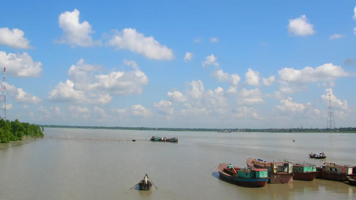
The river begins in the western Mizo Hills and flows southward through Mizoram. Its Mizo name, Khawthlangtuipui, means the “western river”.
After entering Bangladesh, the same river is called Karnaphuli or Karnafuli. It crosses the Chittagong Hill Tracts and passes near Chattogram.
Finally, the river enters the Bay of Bengal near Chattogram. Thus, it is an important transboundary river of India and Bangladesh.
Course and important features
- The river is about 270 kilometres long.
- Roughly 128 kilometres of its course lie within Mizoram.
- Its important tributaries include the Tuichawng, Phairuang and Kawrpui rivers.
- The river drains steep hills receiving heavy monsoon rainfall.
- These conditions can produce sudden rises in water level.
Remember: Khawthlangtuipui and Karnaphuli are two names for the same river, and the first name is used in Mizoram.
What happened during the latest rain?
Mizoram received continuous rain for about one week, and the river then flooded low-lying settlements in Lunglei district.
- Officials moved 42 families from Tlabung to safer places.
- They evacuated about 40 families from nearby Tipperaghat.
- The state recorded more than 29 rain-related incidents.
- Landslides disrupted several roads and isolated some localities.
Tlabung lies close to the Bangladesh border, and the river therefore connects local flood management with transboundary water awareness.
Kaptai Dam and Kaptai Lake
Bangladesh completed the Kaptai Dam across the Karnaphuli in 1962, and the dam stands in Rangamati district.
Its hydroelectric station has an installed capacity of 230 megawatts, and it is Bangladesh’s only hydroelectric power station.
The dam created Kaptai Lake, Bangladesh’s largest human-made lake, and the reservoir submerged extensive farmland and settlements.
About 100,000 people were displaced, including many Chakma families, and some displaced people later moved into India.
Why is the river important?
- Power: The Kaptai project generates renewable electricity for Bangladesh.
- Transport: Navigable sections support movement through the hill tracts.
- Livelihoods: Fishing, farming and trade depend upon the river system.
- Port access: Its estuary lies near Chattogram, Bangladesh’s busiest seaport.
- Ecology: The basin supports forests, wetlands and aquatic habitats.
Why can flooding become severe?
Steep slopes move rainwater quickly into river channels, and saturated soil also increases landslide risk across the surrounding hills.
Road cutting, settlement growth and blocked drainage can increase local damage, and early warnings and planned evacuation therefore remain essential.
Conclusion
The Khawthlangtuipui is both a local lifeline and an international river. Its latest flooding shows the need for reliable warnings, safer construction and coordinated basin management.