
Why in news?
Drilling began for appraisal well MN-DWN18-1-HD on 25 July 2026. It is located in the deep-water Mahanadi Offshore Basin. This is the first of four planned appraisal wells there. The programme will assess whether discovered hydrocarbons can support commercial production.
Background
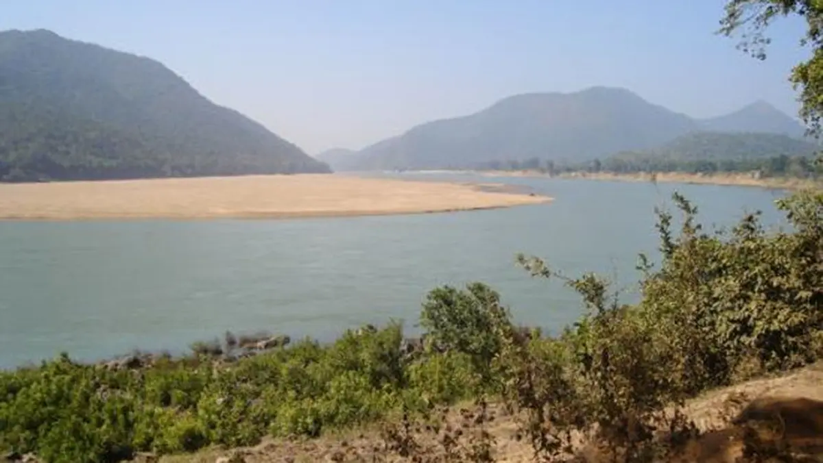
The Mahanadi is a major east-flowing peninsular river whose name means “great river”.
Rising near Chhattisgarh’s Sihawa hills, it crosses Chhattisgarh and Odisha before forming a Bay of Bengal delta.
Course of the river
- The river begins near Pharsiya village, then crosses central Chhattisgarh’s plains.
- Several tributaries enlarge it before the Odisha border.
- It enters Odisha through a narrow valley near Sambalpur.
- Hirakud Dam controls water immediately upstream of Sambalpur.
- After crossing Odisha’s central plains, it divides into many distributaries near Cuttack.
- These channels build a fertile delta beside the Bay of Bengal.
Key geographical facts
| Feature | Details |
|---|---|
| Source | Sihawa hills, Dhamtari district, Chhattisgarh |
| Approximate official length | About 851 kilometres |
| Basin area | About 1.42 lakh square kilometres |
| Main flow states | Chhattisgarh and Odisha |
| Other basin states | Small parts of Madhya Pradesh, Maharashtra and Jharkhand |
| Drainage | Bay of Bengal |
| River type | Rain-fed, monsoon-dominated peninsular river |
Measurements vary by map scale and method, but the Central Water Commission atlas gives about 851 kilometres.
Important tributaries
| Bank | Major tributaries |
|---|---|
| Left bank | Seonath, Hasdeo, Mand and Ib |
| Right bank | Pairi, Jonk, Ong and Tel |
Seonath is the system’s longest tributary, while Tel is an important western Odisha tributary.
Major water structures
- Hirakud Dam crosses the main Mahanadi, while Hasdeo Bango Dam crosses the Hasdeo tributary.
- Tandula Dam and Sondur Dam stand on their corresponding tributary systems.
Why is Hirakud important?
Construction of Hirakud, an early post-independence multipurpose project, began in 1948 before its 1957 inauguration.
It supports irrigation, flood moderation and hydropower, while its reservoir changed settlements and local ecosystems.
The delta and coastal importance
Below Cuttack, Mahanadi divides into distributaries including Kathajodi, Kuakhai, Birupa, Devi and Chitrotpala.
Daya and Bhargavi flow towards Chilika, while the wider delta supports farms but faces serious monsoon floods.
What is the Mahanadi Offshore Basin?
Rivers carry sediments and organic material seaward, where they accumulate in layers over millions of years.
Heat and pressure may create hydrocarbons from buried matter, which suitable rocks can later store.
The offshore Mahanadi Basin contains such sedimentary formations off Odisha’s coast.
What does “spudding a well” mean?
Spudding begins a new well’s physical drilling, marking operational commencement rather than discovery or production.
Exploration, appraisal and production
| Stage | Main question |
|---|---|
| Exploration | Does a geological structure contain hydrocarbons? |
| Discovery | Has drilling encountered movable oil or gas? |
| Appraisal | How large, connected and productive is the discovery? |
| Development | Can facilities extract the resource safely and economically? |
| Production | Can hydrocarbons reach the market continuously? |
The Oil and Natural Gas Corporation, commonly called ONGC, is undertaking this appraisal programme.
Engineers will examine reservoir properties and flow rates alongside costs, safety and offshore infrastructure needs.
Why does the appraisal matter?
- A successful field could reduce import dependence while building specialised national capability.
- Domestic gas can support power, fertiliser and industrial demand.
- Commercial failure would still provide valuable geological information.
- Every project requires strict environmental and safety safeguards.
Conclusion
The new well begins a careful commercial test, while Mahanadi remains a vital river system.