

Why in news?
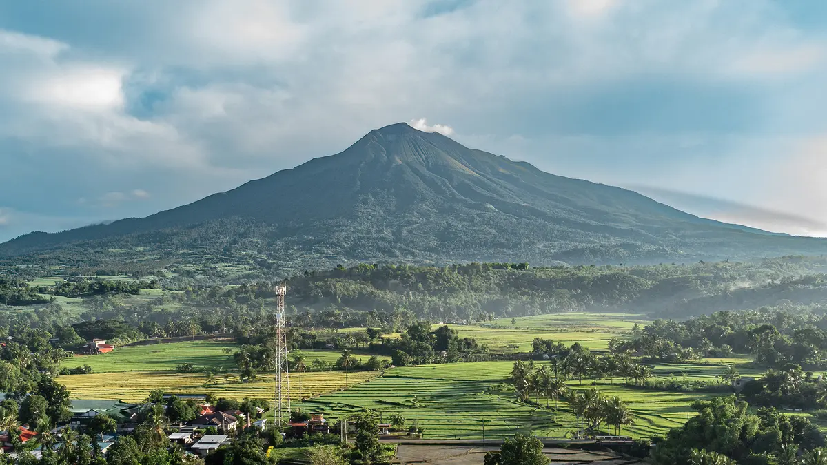
Mount Kanlaon produced a grey plume that rose about 200 metres before drifting north.
What the observation means
The Philippine Institute of Volcanology and Seismology reported the emission on 13 August. Contemporary reporting described ash within the grey plume. A short plume is an observed surface event.
It does not alone establish a major eruption or an escalating trend. Scientists also examine earthquakes, ground deformation, gas output and thermal signals.
Changes across several indicators provide stronger evidence of rising unrest. Kanlaon remained under Alert Level 2 after its July activity. That level indicates moderate unrest and possible sudden explosive events.
Current elevation
The Smithsonian Global Volcanism Program records Kanlaon at 2,422 metres. The higher figure repeated elsewhere was not used.
Location and volcanic setting
Kanlaon stands on Negros Island in the central Philippines. It straddles Negros Occidental and Negros Oriental provinces. At 2,422 metres, it is the island’s highest point.
It belongs to the subduction-related Negros–Sulu volcanic arc. The volcano is a broad, active stratovolcano. Its upper slopes contain craters, fissures and pyroclastic cones.
A northern caldera contains a crater lake. The historically active summit vent lies farther south and slightly higher. Kanlaon forms part of the volcanically active Philippine archipelago. This broader zone lies along the Pacific Ring of Fire.
Recent activity and hazards
A moderately explosive eruption occurred on 9 July 2026. The event produced an ash column and affected nearby communities. Under Alert Level 2, entry into the four-kilometre Permanent Danger Zone remains prohibited.
Sudden steam-driven explosions and further eruptive activity remain possible. Ash can irritate lungs and eyes, contaminate water and disrupt aviation. Ballistic fragments threaten areas close to the crater.
Pyroclastic density currents can move rapidly down slopes during stronger eruptions. Rain can remobilise loose deposits into destructive lahars. These hazards follow valleys and drainage channels. Risk therefore depends on both distance and terrain, not distance alone.
Why monitoring and communication matter
Authorities need clear evacuation zones and transport plans. Residents require masks, clean-water protection and reliable alerts in local languages. Farmers need rapid ashfall advice for animals and crops.
Aviation agencies require plume height and wind direction without delay. Repeated low-level emissions can normalise danger. Communication should encourage readiness without implying that every plume precedes a large eruption.
Respect the alert, avoid prediction
The plume confirms continuing unrest. Only sustained monitoring can determine whether the volcano is stabilising or moving towards stronger activity.
Conclusion
Kanlaon’s latest emission deserves disciplined observation. Prepared communities and evidence-based alerts remain the best protection against sudden change.