

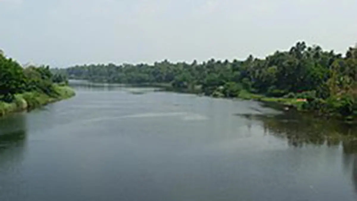
Why in news?
Heavy monsoon rainfall caused the Pamba to overflow during early August.
Floodwater entered roads and settlements within Pathanamthitta district.
The Central Water Commission reported severe flooding at Malakkara.
Local authorities issued warnings near vulnerable river stretches.
Background
The Pamba, also written Pampa, is a west-flowing Kerala river; its accepted length is about 176 kilometres. It is Kerala's third-longest river after Periyar and Bharathapuzha. The basin covers approximately 2,235 square kilometres entirely within Kerala.
Its source streams rise around the Peerumedu plateau of Idukki. Headwaters begin near 1,650 metres within the Western Ghats.
Course of the river
- Mountain streams begin within the high-rainfall Western Ghats; they descend through forests and steep valleys towards Pathanamthitta.
- Kakki, Kakkad and Kallar contribute substantial water to the main channel; the river passes Ranni, Kozhencherry, Maramon and Aranmula.
- It later crosses Chengannur and enters the low-lying Kuttanad region; several lower branches finally discharge towards Vembanad Lake.
- Another outlet connects with the Thottappally spillway system.
The upper basin has steep gradients and rapid runoff responses. The lower basin contains flat floodplains, wetlands, farms and dense settlements; this sharp transition increases flood-management complexity.
Important tributaries and connected rivers
Major tributaries include Kakki, Kakkad, Azhutha and Kallar; smaller streams create a dense drainage network across the highlands. Lower channels interact with canals and neighbouring river systems around Kuttanad.
Why did flooding develop?
Heavy catchment rainfall: Intense rain delivered large volumes across several tributaries simultaneously. Saturated soil absorbed less water, increasing rapid surface runoff.
Steep upper slopes: Western Ghats tributaries transfer runoff towards the main channel quickly. Short travel times reduce the warning period for downstream settlements.
Low-lying downstream terrain: Kuttanad includes land lying near or below mean sea level. High river levels therefore threaten farms, homes and transport links.
Backwater interaction: Drainage becomes slower when receiving backwaters already contain high water. Tides, lake levels and local channel capacity can influence recession.
Reservoir operations: Upper reservoirs require careful inflow forecasting during prolonged rainfall. Safe releases should consider dam security and downstream channel conditions together.
Meaning of a severe flood situation
The Central Water Commission uses standard levels for flood categorisation. An Above Normal situation begins when water crosses the warning level. A Severe situation begins after crossing the site's danger level.
It remains below the recorded highest flood level at that station. An Extreme situation begins when water reaches or exceeds that historical level.
Dams and water projects
The upper basin contains Pamba and Kakki reservoirs; they support the Sabarigiri hydroelectric system and regulated water use. The Maniyar barrage stands across the Kakkad tributary; it diverts dependable tailrace water from hydroelectric generation for irrigation. Reservoirs modify timing, but they cannot eliminate extreme catchment flooding.
Cultural and economic significance
The river is closely associated with the Sabarimala pilgrimage; pilgrims gather near Pamba before climbing towards the hill shrine. Aranmula's temple landscape and boat traditions also depend upon the river. Downstream water supports Kuttanad's paddy cultivation and inland navigation; Vembanad's wetland ecology receives freshwater and sediments from several rivers.
Long-term management concerns
- Floodplain encroachment reduces safe space available for expanding river water; blocked drains and narrowed channels increase local waterlogging.
- Catchment degradation can increase erosion and sediment movement; pollution from settlements and pilgrimage pressures affects water quality.
- Forecasts require coordinated rainfall, reservoir and river-level information; wetland restoration can improve storage without replacing evacuation planning.
Conclusion
Pamba flooding reflects the connection between mountain rainfall and lowland vulnerability. Reliable warnings must combine with floodplain planning, wetland protection and safe reservoir operations.