
Why in news?
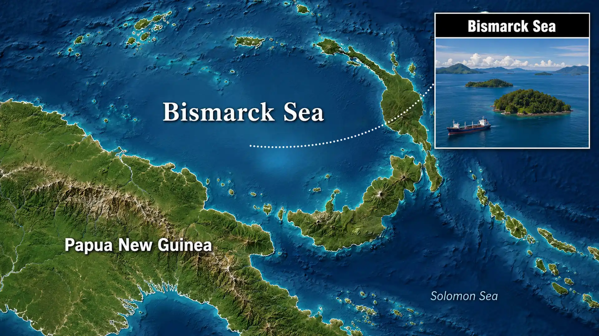
Satellite imagery detected a submarine volcanic eruption in the Bismarck Sea on 8 May 2026. The eruption produced steam‑rich plumes and discoloured water on the ocean surface, raising curiosity about possible new land formation. Scientists are now monitoring the site using radar satellites.
Background
The Bismarck Sea is part of the southwestern Pacific Ocean lying between Papua New Guinea and the Bismarck Archipelago. It sits in a complex tectonic zone where microplates collide, leading to deep basins, hydrothermal vents and numerous submarine volcanoes. The seafloor remains poorly mapped because of its depth and remoteness, and many undersea volcanoes have only been discovered through satellite observations of discoloured water or floating pumice.
What happened in May 2026?
- Eruption site: Scientists observed a plume above the Titan Ridge, a chain of underwater volcanic vents north of New Britain. Thermal anomalies and discoloured water suggest that a vent close to the surface was erupting.
- Nature of eruption: The eruption was steam‑dominated rather than explosive. It released gas, ash and minerals into the water column but did not generate large tsunamis.
- Monitoring: Researchers are using satellites such as the NASA–ISRO Synthetic Aperture Radar (NISAR) and Canada’s RADARSAT to measure changes in the sea surface and detect any new land formation.
Significance
- The event highlights how vast stretches of the ocean floor remain unexplored. Submarine eruptions remind us that the Earth’s crust is dynamic even far from populated areas.
- Although the May 2026 eruption was relatively mild, previous underwater eruptions have occasionally created transient islands or emitted pumice rafts that drift for thousands of kilometres.
- Improved mapping and monitoring will aid hazard assessment and contribute to our understanding of seafloor ecosystems and mineral deposits.
Conclusion
The recent eruption in the Bismarck Sea serves as a reminder of the dynamic geology beneath our oceans. Continued satellite surveillance and seafloor mapping will help scientists track such events, assess potential hazards and expand knowledge about the Earth’s hidden volcanic activity.