

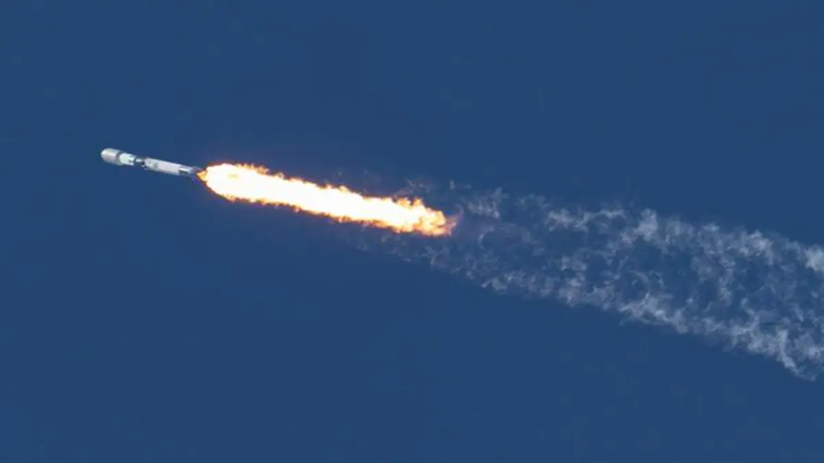
Why in news?
Satleo Labs' TAPAS-1 thermal-imaging payload reached orbit aboard a Dhruva Space mission in early October 2026. Named LEAP-2, the mission belongs to its Launching Expeditions for Aspiring Payloads programme. Dhruva records the Falcon 9 launch at 12:02 a.m. Indian Standard Time on 2 October. TAPAS means Thermal Access Platform for Analytics and Solutions. Developed by the Ahmedabad company, the instrument senses infrared radiation associated with surface heat rather than ordinary visible appearance. Its intended uses include investigating crop water stress, urban heat and environmental hazards. The launch allows the company to test sensing, calibration and processing in space. It is an in-orbit demonstration, not proof that a validated agricultural advisory service is already operating.
A payload and its host do different jobs
TAPAS-1 is an instrument carried by a spacecraft, rather than a separate satellite flying beside LEAP-2. The host provides the platform needed to operate and communicate in orbit. This mission uses Dhruva Space's P-30 platform. It also carries a separate star-tracking instrument from the French company Sodern. These are different experiments sharing a spacecraft, not different names for the same sensor.
That arrangement allows an instrument developer to concentrate on its measurement system without building every spacecraft subsystem independently. Power, orientation and communication still matter: a useful sensor must collect observations under known conditions and return them for analysis. Sharing a host changes how the mission is organised, but does not remove the need to test the instrument's performance. A successful launch is the beginning of that space-based evaluation.
What a thermal image actually measures
Ordinary photographs mainly record visible light reflected from surfaces. Thermal instruments observe radiation emitted at longer wavelengths, beyond human vision. TAPAS-1 works in the long-wave infrared region. A thermal map can therefore reveal differences that are not obvious in a visible photograph, such as contrasting temperatures across fields or built-up surfaces. It measures a physical signal that must be interpreted, rather than directly identifying the cause of every hot patch.
The signal depends on both temperature and emissivity: how effectively a material emits thermal radiation. Soil, vegetation, water and construction materials do not all behave identically. The United States National Aeronautics and Space Administration, or NASA, explains this distinction through its Jet Propulsion Laboratory. Processing must account for these differences before comparing temperatures reliably. Otherwise, a difference caused partly by surface properties could be mistaken for a temperature change alone.
How heat can provide clues about water stress
Plants release water vapour through small openings in their leaves. This process, called transpiration, contributes to cooling. Evaporation from surrounding soil also transfers water to the atmosphere; together, the processes are called evapotranspiration. When water becomes scarce, changes in plant behaviour can alter this cooling. Thermal observations can consequently help investigate water use and stress, especially when combined with weather, vegetation and field information.
NASA's thermal research demonstrates this general connection between plant temperature and water movement. It does not establish TAPAS-1's accuracy or prove that every warm field needs irrigation. Crop type, growth stage and local conditions affect interpretation. The practical value comes from relating a measured pattern to those conditions. An irrigation decision needs that additional explanation, rather than simply treating a coloured satellite image as an instruction to add water.
From an observation to a dependable service
Thermal sensing does not require the same reflected sunlight as a visible photograph, but darkness and cloud cover are different problems. Thick clouds can hide the surface and contribute their own infrared signal. The European Space Agency's instrument guidance explains why cloud identification is part of processing. Observations must also be assigned to the correct ground locations and checked against suitable reference measurements before users can judge their reliability.
The Indian Express reported Satleo's private-commercial milestone claim and plans for applications in farming, cities and disaster monitoring. That claim concerns a particular commercial initiative, not the beginning of thermal observation by Indian science. The immediate task is narrower and measurable: establish how well this payload works in orbit. Consistent observations, documented accuracy and useful interpretation would matter more to eventual users than a launch label alone.
Conclusion
TAPAS-1 brings a new commercial instrument into the testing stage where its measurements can be evaluated under real orbital conditions. Its promise lies in connecting surface heat with practical questions about water, land and environmental stress. Turning that promise into a dependable service requires validated data and explanations suited to the place being observed.