

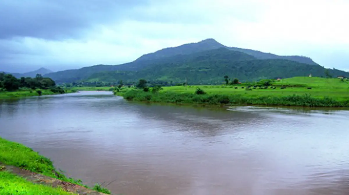
Why in news?
- Heavy monsoon rainfall in Maharashtra on 7 July 2026 caused the Ulhas River to cross its danger mark at Badlapur and Ambernath.
- The nearby Kalu River breached the warning level at Titwala.
- Authorities evacuated around 250 residents, including 45 elderly people from an old‑age home, and placed the state on high alert.
Background
The Ulhas River is a west‑flowing river in Maharashtra. It originates near Lonavala in the Western Ghats and flows roughly 122 kilometres through the districts of Raigad, Pune and Thane before splitting into the Vasai and Thane creeks and draining into the Arabian Sea. The river is vital for the water supply of Mumbai and its surrounding areas. Its main tributary is the Kalu River, which joins the Ulhas near Kalyan. Rapid urbanisation and deforestation in the river basin have increased runoff, making the river prone to flooding during the monsoon. In past years, overflow of the Ulhas has contributed to severe flooding in the Mumbai Metropolitan Region.
Recent developments
- Evacuations: Rising water forced authorities to move residents from low‑lying areas along the riverbank. Emergency services shifted elderly people from an old‑age home in Badlapur to safer locations.
- Weather alerts: The India Meteorological Department initially issued a red alert for heavy rainfall in Mumbai but later downgraded it to orange. However, nearby districts such as Palghar remained on red alert.
- School closures: Schools and colleges in Mumbai, Thane and other districts were closed as a precaution. Parks and gardens were also shut to ensure public safety.
- Preparedness: State authorities deployed National Disaster Response Force and State Disaster Response Force teams in vulnerable areas. The chief minister warned of possible cloudbursts and advised citizens to stay indoors.
Conclusion
The Ulhas River flooding underscores the vulnerability of urban areas in Maharashtra to extreme rainfall. Long‑term solutions include restoring wetlands, controlling urban sprawl and improving drainage systems. In the short term, timely alerts and evacuations can save lives.
Source: The Times of India