

Why in news?
Residents in Upper Subansiri reported a sudden forceful rise and floating timber despite little local rain. No official cause was established.
What was observed
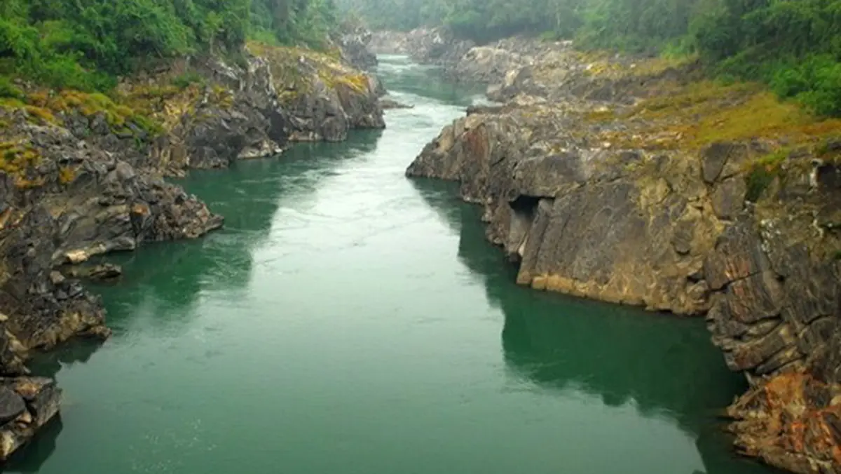
A regional report carried videos and local accounts from 15 August. The river appeared swollen and carried considerable woody debris. Such observations can provide an early warning. They cannot identify the upstream mechanism without measurements.
Local rainfall is only one part of a large catchment. Conditions far upstream can change discharge many hours later.
The river’s geography
The Subansiri rises in the Tibetan mountains and enters Arunachal Pradesh. It then descends through deep Himalayan valleys. It crosses Upper Subansiri before reaching the Assam plains. The river joins the Brahmaputra from the north.
Central Water Commission records describe steep northern tributaries with heavy sediment and rapidly rising floods.
The 2,000-megawatt Subansiri Lower project lies near the Arunachal Pradesh–Assam boundary. Its presence does not establish causation here.
Several possibilities, no settled cause
Upstream rain, slope failure, temporary blockage or regulated flows require separate evidence. None should be asserted from downstream video alone.
What a credible investigation needs
Agencies should compare upstream rainfall, gauge hydrographs and satellite imagery. Project-operation logs may also be relevant. Floating timber can indicate bank erosion or slope disturbance. Its source and age need field examination.
Because the upper basin crosses an international boundary, hydrological information has strategic value. Timely data can improve downstream warnings.
Arunachal settlements face fast mountain flows, while Assam faces wider floodplains. Warning messages must reflect these different travel times.
Downstream exposure includes parts of Lakhimpur and Dhemaji districts. Floodplain erosion can continue even after the water-level peak passes.
Hydropower and disaster authorities should share real-time information. Public explanations must distinguish measured facts from preliminary hypotheses.
Observe quickly, attribute slowly
Unusual river behaviour deserves immediate precautions. Scientific attribution must wait for basin-wide data.
Conclusion
The Subansiri report shows the value of local observation and official monitoring. Evidence-based attribution is essential for public trust.