

Why in news?
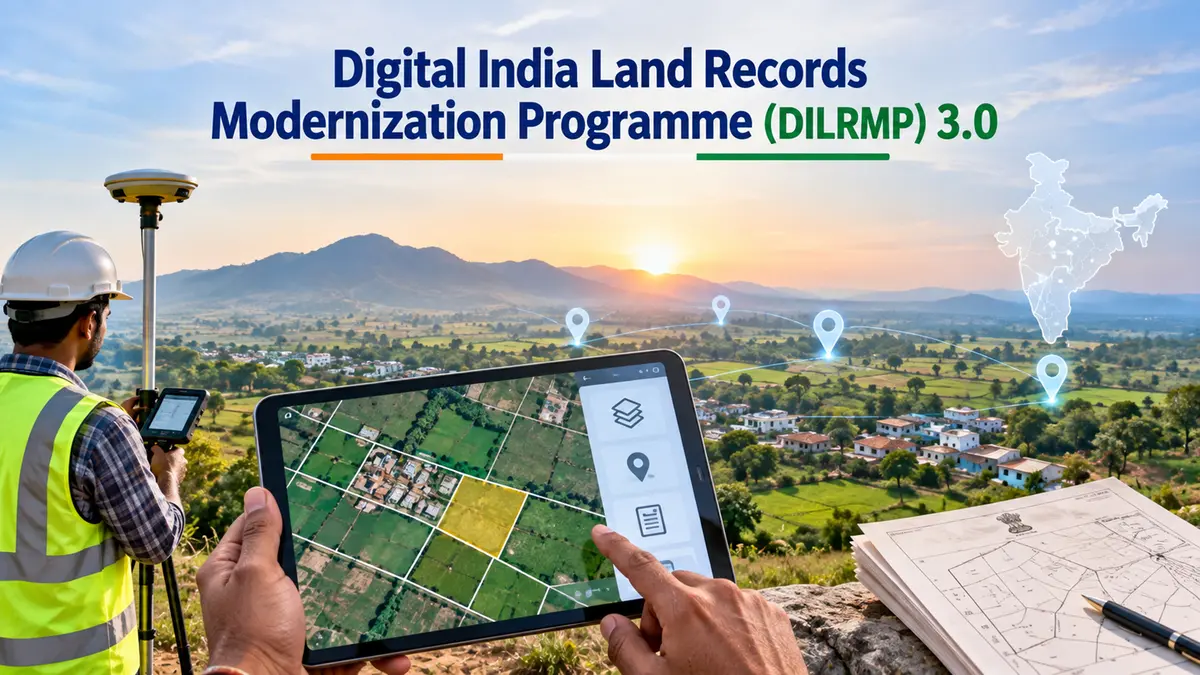
The government launched guidelines for the Digital India Land Records Modernization Programme, or DILRMP, 3.0 on 10 September 2026. Official photographs confirm the launch by Union Minister Shivraj Singh Chouhan. The guidelines cover 2026–27 to 2030–31 with an outlay of ₹565.50 crore. Announced funding and programme objectives should not be confused with completed work or expenditure.
How the programme reached this stage
The National Land Records Modernization Programme began in 2008 by combining earlier land-record initiatives. It was renamed and restructured as DILRMP in 2016. From 1 April that year, it operated as a Central Sector Scheme with full central financial assistance. The Department of Land Resources, within the Ministry of Rural Development, administers the programme.
Earlier work focused on computerising textual records, digitising maps and modernising registration processes. The new phase seeks better integration among those systems. A scanned document can be easier to retrieve without being connected to the correct parcel. Integration is meant to make different records usable together, not merely available on separate websites.
What a connected land record needs
A Record of Rights, or RoR, contains recorded information about rights and interests in land. A cadastral map represents land parcels and their boundaries. Registration records document transactions, while mutation updates revenue records after relevant changes. These records answer related questions, but one document cannot automatically substitute for all the others.
Consider a parcel sold after an old map was prepared. The transaction record may have changed while the revenue entry remains outdated. A later subdivision may introduce another mismatch. A useful system must address these differences through authorised procedures. Displaying inconsistent information more quickly would not solve the underlying problem.
The proposed Land Stack uses a Geographic Information System, or GIS, to connect parcel maps with associated information. A GIS links data to locations so that layers can be compared. This can support searches across maps, ownership records, registration and disputes. The intended benefit is coordinated information rather than another isolated database.
Bhu-Aadhaar identifies a parcel, not a person
The Unique Land Parcel Identification Number, or ULPIN, is also called Bhu-Aadhaar. The department describes a 14-character alphanumeric parcel identifier, often calling it a 14-digit number. Its generation depends on surveyed, georeferenced parcel coordinates. It should not be confused with the separate Aadhaar identity number issued to an individual.
A stable parcel reference can help different systems recognise the same piece of land. That is useful when local identifiers differ across records. However, reliable identification requires reliable underlying geometry. If a boundary is wrong in the source data, assigning it a digital code does not make that boundary correct.
Georeferencing links map features with coordinates on the Earth. It does not itself adjudicate a dispute between neighbours. A cadastral line must remain connected with the relevant survey record and legal process. The distinction matters because digital precision can create an impression of certainty that the underlying evidence may not justify.
Registration and disputes must connect with the map
The National Generic Document Registration System, or NGDRS, supports a common software approach that states can adapt to their requirements. Registration services include tasks such as document preparation, valuation-related information and appointments. Integrating these services with land records can reduce repeated data entry. It does not erase differences in state laws and administrative responsibilities.
The new phase also includes revenue-court integration and a registration repository. Linking pending cases with relevant parcels could make disputes easier to identify. That can improve access to information for officials and citizens. It cannot replace a court’s decision or guarantee that every older proceeding has already been entered accurately.
Urban records are included through completion of the National Geospatial Knowledge-based Land Survey of Urban Habitations, or NAKSHA, pilot. The government also plans modernisation of selected registration offices. These initiatives address different service gaps. Their launch does not establish universal coverage or identical service quality across all locations.
Digitisation is not a guarantee of ownership
The Supreme Court has reiterated that a mutation entry does not by itself confer title. It serves a revenue-record purpose rather than conclusively deciding ownership. The same principle cautions against overstating digitisation. Making a record electronic changes its accessibility, not automatically its legal effect.
Land administration also involves distinct constitutional responsibilities. Land and land revenue fall mainly within the State List, while registration is a Concurrent List subject. Central funding and common technology therefore operate alongside state-level laws and implementation. A national platform does not by itself create one uniform system of conclusive land titles.
Safeguards should include accessible correction procedures, clear records of changes and protection against unauthorised access. Citizens need a way to challenge an incorrect entry. Assisted services remain important for people unable to use online systems independently. Better administration should reduce obstacles, not turn an old paperwork error into a harder-to-correct digital one.
Conclusion
DILRMP 3.0 seeks to connect land information that has often remained fragmented. Its usefulness will depend on accurate surveys, consistent records and effective service delivery. Parcel identifiers and online access can support that work without settling ownership disputes automatically. The correct measure of progress is reliable, usable administration, not digitisation figures alone.