

Why in news?
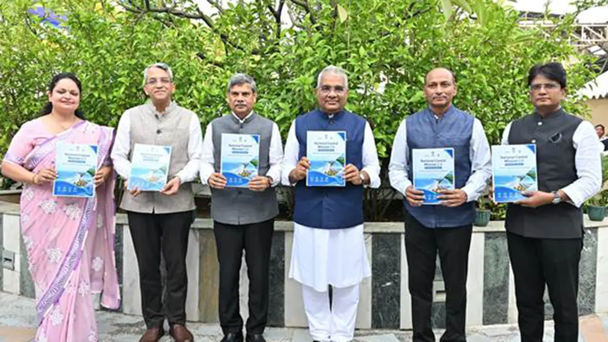
The Environment Ministry launched implementation guidelines for National Coastal Mission 2.0 on 30 September 2026. The ₹767-crore programme covers nine coastal states and four Union Territories, with a programme period extending through 2030–31. It brings coastal-risk assessment, ecosystem restoration, planning and institutional capacity into a common framework. These tasks are connected because settlements, fisheries, ports and habitats share the same changing coastline. Protecting one site without understanding nearby land and water uses can leave the underlying pressures unresolved. The new development is the release of implementation rules, not the completion of restoration projects. Individual activities still require the relevant approvals before work begins.
A coast is more than the line where land meets water
Coastal management deals with interacting environments rather than a narrow strip of beach. Mangroves occupy tidal margins, while fishing grounds, navigation routes and other uses extend offshore. Changes on land can also affect coastal water. Planning therefore needs to consider where activities occur, how they interact and whose livelihoods depend on them. Treating each use separately can miss effects that cross administrative or ecological boundaries.
The programme's mainland coverage includes Gujarat, Maharashtra, Goa, Karnataka, Kerala, Tamil Nadu, Andhra Pradesh, Odisha and West Bengal. The Union Territories are Puducherry, Lakshadweep, Andaman and Nicobar Islands, and Dadra and Nagar Haveli and Daman and Diu. This includes western and eastern mainland coasts as well as island environments. Their common exposure to coastal processes does not mean that every place needs the same intervention.
Why living habitats are part of coastal protection
Mangroves are trees and shrubs adapted to intertidal conditions, where water levels rise and fall with the tides. Their root networks slow water movement and encourage suspended sediment to settle. They can stabilise shorelines and provide shelter for fish and other organisms. Protecting such habitat can consequently support both ecological functions and the coastal activities that depend on healthy waters.
These benefits arise from a functioning ecosystem, not simply from recording how many saplings were planted. An intertidal habitat depends on suitable water movement and local conditions. Restoration must therefore be judged by whether the habitat establishes and continues to function. A planting count is an activity measure; surviving vegetation, habitat condition and reduced pressures are closer to the intended ecological outcome.
Planning different uses together
Marine spatial planning is a public process for deciding how activities should be distributed across marine space and time. The Intergovernmental Oceanographic Commission explains it as a way to balance environmental, economic and social objectives. A map becomes useful when it relates activities to habitats and to one another, rather than merely displaying administrative boundaries.
For example, planners may need to consider fishing access alongside navigation and habitat protection. This is a general planning illustration, not a newly announced restriction under the mission. The purpose is to identify interactions before separate decisions create avoidable conflicts. Participation matters because people using the coast hold practical knowledge about access, seasons and local conditions that a distant planning office may overlook.
How the framework moves into implementation
The guidelines organise work around climate-resilient coastal development, risk-informed planning, adaptation, capacity building and programme management. They build on the earlier coastal mission rather than beginning coastal management from nothing. As a central-sector scheme, the framework places funding and project sanction responsibilities with the Centre, while using existing state machinery for coordination. Scientific agencies, implementing bodies and local authorities have different but connected responsibilities.
Project preparation proceeds through a concept, consultation, detailed planning and technical appraisal before approval. Crucially, programme approval is not a substitute for statutory clearance. The guidelines require necessary permissions before the relevant physical activities begin. This preserves the distinction between allocating money to a coastal project and establishing that its design and location satisfy applicable environmental and other requirements.
Monitoring is part of that planning cycle, not merely a final expenditure statement. The Commission's guidance stresses defined objectives, indicators and evaluation. If a project aims to improve habitat or reduce a pressure, its baseline and later measurements should address that aim. Otherwise, construction or spending can be reported as success without showing whether the environmental problem actually improved.
Conclusion
National Coastal Mission 2.0 provides a framework for connecting coastal development with ecological risk and local livelihoods. The decisive work now lies in well-designed projects, lawful implementation and evidence of lasting outcomes. A common programme can support coordination, but effective protection still depends on understanding the particular coast where each intervention takes place.