

Why in news?
Tamil Nadu began a fresh underwater archaeological campaign off Poompuhar on 6 September 2026. The state archaeology department is working with Indian Maritime University. Divers and survey instruments will examine suspected remains beneath the Bay of Bengal. The work seeks evidence about the ancient port, submerged structures and changing shoreline.
What the new fieldwork involves
Tamil Nadu Archaeology Minister A. Rajmohan opened the operation with department officials and researchers. The team includes archaeologists, divers and technical specialists. Reports described a group of about 25 members. Work was expected to continue for roughly twenty days, subject to sea conditions.
The minister inspected work at a depth near ten metres. Planned exploration ranges from two to sixty metres. Side-scan sonar maps objects through reflected sound. Echo sounders measure depth and seabed shape before targeted diving.
Researchers will document any stone, brick, timber, pottery or metal remains in place. Position and surrounding sediment matter as much as the object. Loose material can move through currents or fishing activity. A find becomes historical evidence only after dating and contextual study.
Where is Poompuhar?
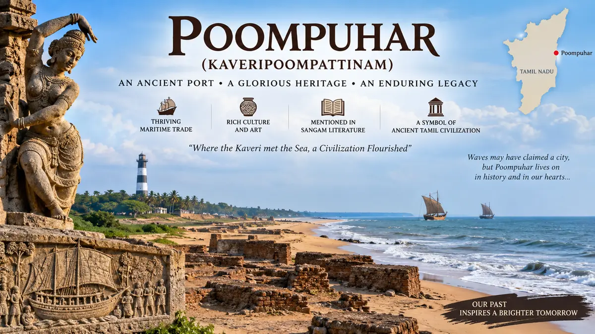
Poompuhar is also known as Kaveripoompattinam. It stands near the Kaveri River’s mouth in present Mayiladuthurai district. The coast faces the Bay of Bengal along Tamil Nadu’s Coromandel shore. River, sea and inland routes once met at this location.
The Kaveri delta supported fertile agriculture and dense settlements. Its distributaries carried produce towards coastal markets. Monsoon winds connected the coast with Sri Lanka and wider Indian Ocean routes. This geography helped a port grow beside the river mouth.
The same setting also creates vulnerability. Waves, cyclones, sediment movement and river-course changes reshape the shoreline. Parts of an old settlement can erode or become submerged. Coastal change can occur through repeated events, not one dramatic disaster.
Historical importance
Early Tamil literature describes Puhar as a busy Chola port and urban centre. Pattinappalai presents markets, ships and varied communities. Manimekalai preserves a tradition of the city’s destruction by the sea. Literature offers valuable memory but is not a measured archaeological record.
Material evidence must test where and when port activity occurred. Earlier land excavations found brick structures, ring wells, pottery and other settlement remains. Archaeologists also identified a wharf-like structure near Kizharveli. Timber associated with it was dated to the early historic period.
Tamil Nadu’s archaeology department undertook offshore exploration with the National Institute of Oceanography during 1996 and 1997. Surveys reported structural remains and lead ingots in the wider area. Later work revisited seabed features with improved instruments. Each campaign adds evidence but has not mapped an entire lost city.
How underwater archaeology establishes meaning
Sonar first reveals shape and texture rather than identity. A straight line may be masonry, rock or modern debris. Divers must photograph and measure the feature. Sediment samples can show the environment in which it formed.
Dates can come from wood, charcoal, shells or associated pottery. Marine samples sometimes require corrections for older carbon. Repeated coordinates and clear excavation layers strengthen interpretation. An isolated artefact cannot prove the age of a nearby structure.
Researchers must also separate port remains from shipwreck evidence. A cargo object may have travelled far from its origin. Ballast stones and anchors can show maritime activity. Harbour walls, warehouses and habitation layers answer different questions.
Why this research matters
Poompuhar can illuminate trade across early South India and the Indian Ocean. Imported and local materials may reveal commercial connections. Port design can show how builders managed tides and river flow. Environmental evidence can trace historical coastal retreat.
The findings may also improve modern coastal planning. Long-term erosion records help identify vulnerable stretches. Archaeological sites need protection from dredging, construction and uncontrolled collection. Fishing communities should participate because they know seabed conditions and recurring finds.
Public interest must remain evidence-led. A submerged feature does not establish a spectacular age without dating. Literary tradition should guide questions, not predetermine answers. Publishing maps, methods and test results will make the conclusions durable.
Conclusion
The new campaign can refine Poompuhar’s maritime and environmental history. Its instruments will locate targets, while excavation must establish their age. The ancient texts provide context but cannot replace material evidence. Careful publication can prevent promising finds from becoming exaggerated claims. The work also strengthens protection of Tamil Nadu’s vulnerable underwater heritage.