

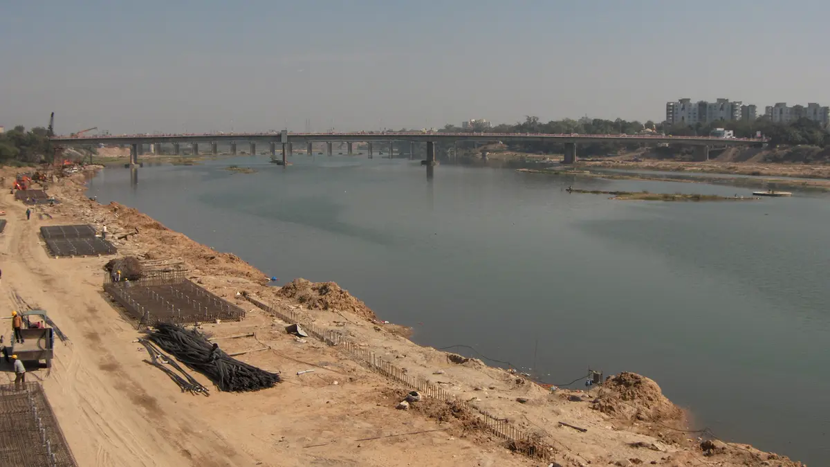
Why in news?
The Sabarmati River is often mentioned in civil services examinations because it flows through Ahmedabad and Gandhinagar, two of Gujarat’s major cities. Recent discussions on urban water management and pollution have highlighted the need to understand its origin, tributaries and basin characteristics.
Background
The Sabarmati is a monsoon‑fed, west‑flowing river. It rises in the Aravalli hills near the village of Tepur in Rajasthan at an elevation of about 762 metres and travels 371 kilometres before emptying into the Gulf of Khambhat (Cambay) in the Arabian Sea. About 48 km of the river lies in Rajasthan, while the remaining 323 km flow through Gujarat. The catchment area covers 21,674 square kilometres and supports agriculture, industry and municipal water supply.
Course and tributaries
- The river flows south‑west from the Aravalli hills and enters Gujarat after about 48 km. It passes through the Dharoi gorge and then the plains, bisecting Ahmedabad before reaching the sea.
- Left‑bank tributaries: Wakal, Harnav, Hathmati, Khari and Watrak join the Sabarmati from the left. The Watrak is the largest, rising in the Panchara hills of Rajasthan and flowing 248 km before meeting the main river. Meshwo, Mazam and Shedhi rivers are sub‑tributaries of the Watrak.
- Right‑bank tributaries: The Sei, Siri and Dhamni rivers enter from the right. The Sei originates in the Aravalli hills and flows 95 km to meet the Sabarmati.
- Dams and barrages: Major structures include the Dharoi Dam, built in 1978 about 165 km upstream of Ahmedabad, and the Vasna Barrage near the city. These regulate water supply and help control floods.
Basin characteristics
The Sabarmati basin is roughly triangular. It is bounded by the Aravalli hills to the north and north‑east, the Rann of Kutch to the west and the Gulf of Khambhat to the south. About three‑quarters of the basin is under agriculture, while roughly 4 % is water bodies. The riverfront development in Ahmedabad has revitalised parts of the riverbank, but industrial and domestic pollution remain concerns.
FAQs
- Where does the Sabarmati River originate? It originates in the Aravalli hills near Tepur village in Udaipur district, Rajasthan.
- Into which sea does the river empty? The Sabarmati discharges into the Gulf of Khambhat (Cambay) in the Arabian Sea.
- How long is the river? The total length is about 371 kilometres.
- Name a major right‑bank tributary. The Sei River is an important right‑bank tributary originating in the Aravalli hills.