

Why in news?
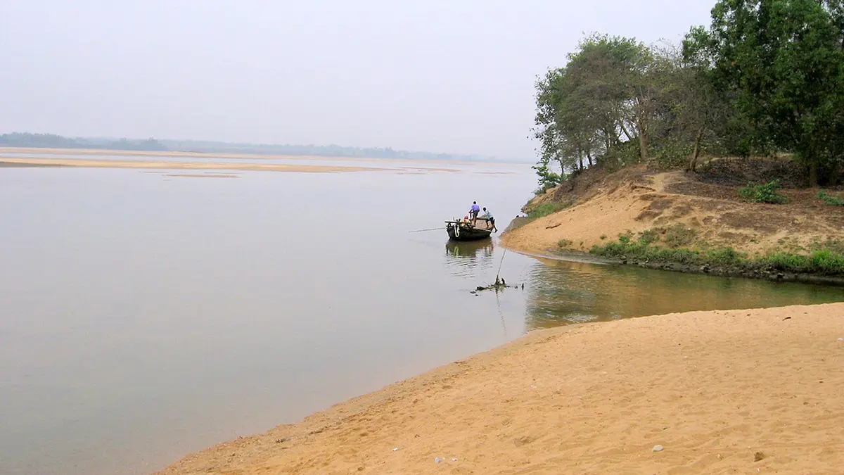
A rare hilsa catch has drawn attention to the Damodar River in West Bengal. On 20 September, The Statesman reported that a fisherman at Khandaghosh in Purba Bardhaman had caught the fish. Hilsa normally move between coastal waters and rivers, making an unusual inland catch interesting to fishers and researchers. The report also recalled an earlier Damodar catch, so this should not be presented as the river's first-ever hilsa record. The observation raises questions about fish movement through the lower river system. It does not, by itself, establish improved water quality, a restored breeding population or successful passage across every upstream barrier.
Following the river from plateau to plain
The Damodar rises in the Chota Nagpur Plateau of Jharkhand and flows into West Bengal. Its upper catchment has plateau terrain, while the lower river crosses the plains of southern Bengal. The Barakar is an important tributary, joining near Dishergarh. Konar and Bokaro also belong to the river's tributary network. These connections matter because rainfall, sediment and releases in different branches can influence conditions farther downstream.
The lower drainage is more complicated than a single line ending at the sea. The Inland Waterways Authority of India's feasibility report describes water passing through the Mundeswari towards the Rupnarayan system. Another channel continues as the Damodar into the Hooghly south of Kolkata. Thus, a fish entering the lower network encounters connected channels within a broader estuarine landscape. The reported catch does not identify its exact route through that network.
Why a hilsa travels into a river
Hilsa, Tenualosa ilisha, is associated with the Bay of Bengal and its connected river systems. It is commonly described as anadromous: adults move from marine or coastal waters into freshwater to reproduce. This differs from fish that complete their entire life cycle in a freshwater pond or river. Seasonal river flow and access between habitats therefore matter to its life cycle, not merely the presence of water at one fishing location.
Freshwater entering an estuary creates changing conditions where river water mixes with seawater. A migrating fish must encounter a usable route through those conditions. A catch can confirm that an individual reached a particular place, but it cannot explain every stage of its journey. In this case, suggestions about food availability or tidal influence remain possible explanations rather than findings from a tracked migration study.
The river is also an engineered system
Major structures in the basin are often grouped together, but they do not all stand on the same river. Tilaiya and Maithon are on the Barakar; Konar is on the Konar; Panchet is on the Damodar. The Central Water Commission's records distinguish these locations. The Durgapur Barrage lies farther downstream on the Damodar. Reading the tributary names alongside the structures prevents a misleading picture of several dams arranged along one uninterrupted main channel.
Reservoirs store water, while a barrage regulates water levels and diversion through gates. Such infrastructure supports important human uses, including irrigation and flood management. It can also change the timing and continuity of flows. For a migrating fish, however, a water-management benefit does not automatically provide a passable route. The physical structure, gate operation, water depth and flow conditions all need separate ecological examination.
Connectivity is part of habitat
The Central Inland Fisheries Research Institute has documented the effect of river barriers on hilsa movement in the Ganga system. Its historical assessment records a major decline in the fishery above Farakka after river modification. That evidence explains why migration barriers deserve attention; it is not a direct measurement of the September Damodar event. Conditions differ between rivers, structures and seasons, so one case cannot supply the answer for another without local observations.
Channel form also changes over time. A study presented at the Indian Institute of Technology Roorkee examined lower-Damodar changes between 1990 and 2015. It linked observed channel adjustments with human interventions and changes in water and sediment movement. This offers useful background on a modified river landscape. Its historical findings should not be converted into a current basin-wide percentage of ecological damage or recovery.
What would demonstrate a lasting improvement?
Repeated observations would be more informative than one unusual catch. Researchers could compare where fish appear, in which seasons, and whether young fish are also present. Water-quality measurements and flow records would help test possible explanations. Recording fishing effort would matter too: more reported catches may reflect more nets or greater public attention, rather than a larger population. These are ways to investigate the observation, not results already established by the newspaper report.
Conclusion
The hilsa catch makes the Damodar's connection with a wider river–estuary system visible through an everyday fishing event. Its significance lies in the questions it opens about migration, flow and habitat continuity. A careful response preserves the observation without turning it into an unsupported recovery claim. Understanding the river requires both its physical geography and evidence collected repeatedly across its changing channels.