

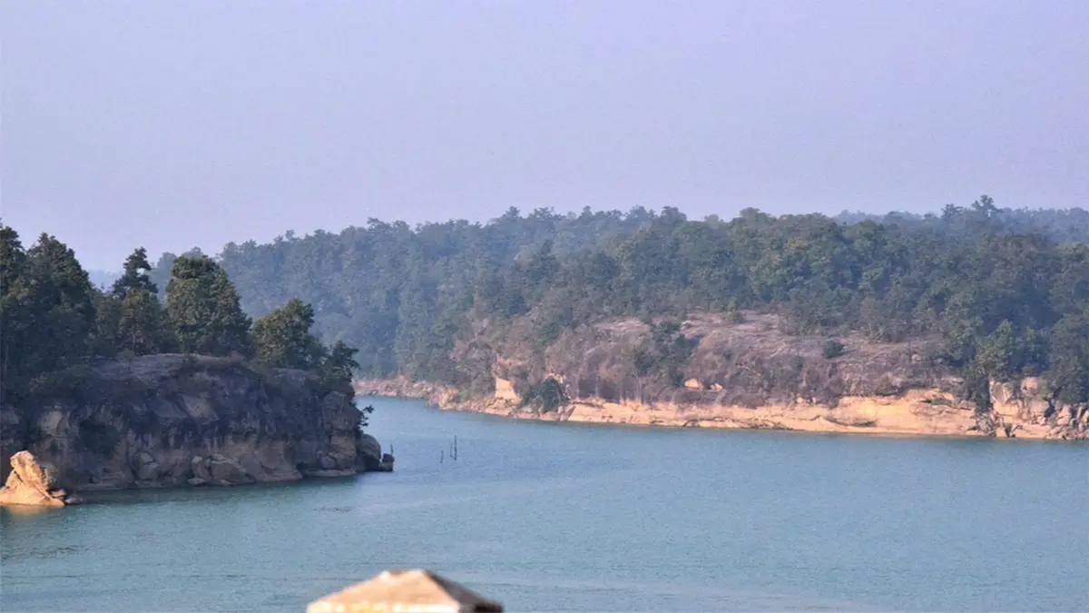
Why in news?
Three students were swept away in Chhattisgarh’s Hasdeo River near Devri on 11 September 2026, according to Press Trust of India. Police said one student fell into the water while taking selfies; two others entered to help and were also swept away. The incident occurred during a picnic in Janjgir-Champa district. The Hasdeo rises in northern Chhattisgarh and joins the Mahanadi, which carries water eastwards towards the Bay of Bengal. It is a connected river system supporting settlements, farming and industry, rather than a self-contained local waterbody. The accident highlights the danger of entering a strong current, including during an attempted rescue. By the news agency’s report on 12 September, one body had been recovered and the search for two students continued. Trained search teams were assisting the operation.
From the Sonhat Plateau to the Mahanadi
The Korea district administration places the Hasdeo’s origin near Mendra village on the Sonhat Plateau. From this northern upland, it flows generally southwards. Manendragarh, Korba and Champa are important places along its course. The river is not an isolated local waterbody: it collects water from several tributaries before joining a larger drainage system.
The Gej, Tan and Ahiran are among those tributaries. Korba city stands near the meeting of the Hasdeo and Ahiran. A confluence brings together flows from different upstream areas. Rainfall over one tributary’s catchment can consequently affect conditions below the junction, even when another part of the basin receives less rain.
The Central Water Commission identifies the Hasdeo as a left-bank tributary of the Mahanadi. River banks are named while facing downstream, rather than by the direction a person happens to face. The Mahanadi flows through Chhattisgarh and Odisha before reaching the Bay of Bengal. Hasdeo water therefore contributes to an east-flowing peninsular river system.
Why a drainage divide matters
The Sonhat region also helps illustrate a drainage divide: higher land separates water flowing towards different river systems. Korea’s official account places the Ganga basin north of the Mendra area and the Mahanadi basin southwards. Nearby streams need not share the same destination. The direction of the land’s slope determines which network they enter.
A catchment is the land area whose water drains towards a common outlet. Within a large basin, each tributary has its own smaller catchment. Some rain becomes surface runoff; some enters the soil or replenishes groundwater. River flow reflects these pathways together, not simply the rain falling directly onto the channel.
This explains why river conditions cannot be judged from local weather alone. Water generated by upstream rainfall takes time to travel downstream. The United States Geological Survey shows how storm flows can rise at a monitoring point after rainfall elsewhere. The timing depends on the catchment and the route taken by the water.
A river used for irrigation and storage
The Hasdeo-Bango project, also called the Minimata Hasdeo Bango project, is built on the river in Korba district. The Central Ground Water Board describes its reservoir and canal network as important irrigation infrastructure. Right-bank and left-bank canals carry water towards agricultural areas, including the Janjgir-Champa region.
Storage and canals connect the upstream river with fields beyond its immediate banks. Water management therefore involves more than maintaining one reservoir. It includes when water is stored, where it is conveyed and how downstream users receive information. Irrigation infrastructure and the natural river remain parts of the same connected system.
That geographical connection is not evidence that the project caused this accident. Establishing such a link would require records of river levels, rainfall, releases and the incident’s timing. None should be inferred merely because a dam exists upstream. The project explains the basin’s management context, not an unverified explanation for the students being swept away.
Understanding flow and reducing exposure
Water level and discharge describe different things. Level measures the height of the water surface at a reference point. Discharge is the volume passing a section during a given time. A river’s shape influences how one relates to the other. Reliable assessments use measurements, rather than treating a single visual impression as a flow estimate.
The public-safety response also needs to address access to hazardous water, not just rescue after an accident. The World Health Organization identifies barriers, supervision and water-safety education as preventive measures. Trained rescue and resuscitation capacity provide another layer of protection. These measures serve different purposes and work best as a coordinated system.
For a riverbank, that means identifying places where people enter the water and explaining changing conditions in locally understandable ways. Warnings need to reach users at the relevant place and time. Such measures are practical implications of the prevention evidence; they are not findings that particular safeguards were absent at Devri.
Conclusion
The Hasdeo incident concerns an immediate human loss within a much larger river landscape. Its upland sources, tributaries, storage project and Mahanadi connection explain why conditions downstream can change. The immediate task was the search for the missing students. Longer-term safety depends on understanding local hazards and reducing exposure, while any finding about this accident’s cause requires specific evidence.