

Why in news?
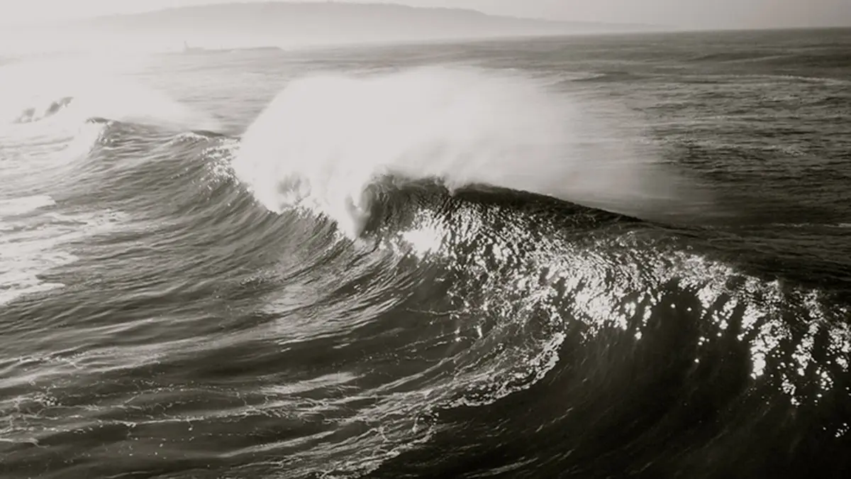
A swell-surge event affected Kerala, southern Tamil Nadu and Lakshadweep during 26–28 September. Waves arriving from the southern Indian Ocean produced rough seas and reported seawater inundation at several coastal locations. These were long-period swells: waves generated far away that continued travelling beyond the winds that created them. In its 28 September update, the Indian National Centre for Ocean Information Services said the event's high-energy conditions had subsided. The associated warnings were no longer in force, although local authorities still had to assess beach conditions before declaring an all-clear. The episode shows why calm-looking local weather does not necessarily mean that an exposed coast is safe.
How a distant storm sends energy across the ocean
Wind transfers energy to the sea surface. Wave growth depends on wind strength, how long it blows and the distance over which it acts. That uninterrupted distance is called fetch. A strong wind blowing steadily across a large stretch of ocean can build substantial waves. The affected coastline may be far from the weather system that generated them.
After leaving the generating area, waves can continue as swell. They often appear more regular than the confused sea close to a storm. In deep water, longer waves travel faster, so waves with different periods become separated during their journey. This sorting helps explain why the first arriving swells can have particularly long periods.
The wave travels through the water as a disturbance carrying energy. It should not be imagined as the same wall of water moving intact from a distant storm to India. This distinction explains how the coast can receive energetic waves without experiencing the original storm's wind or rain. The source of the energy and the place of impact are different.
Why the time between waves matters
Wave period is the interval between successive crests passing a point. It is different from wave height, which measures the vertical distance between trough and crest. The official update described periods of twenty to twenty-five seconds during this event. A description based only on height would therefore leave out an important part of the sea conditions.
As waves approach shallow water, interaction with the seabed changes their speed, shape and sometimes direction. The form of the seabed and shoreline influences the eventual breaking waves and water movement on the beach. Consequently, an offshore observation cannot be translated into one identical impact along the entire coast. Nearby stretches may experience different conditions.
This is why the official withdrawal of a regional warning was not an automatic all-clear for every beach. The regional event had weakened, but local authorities still needed to consider conditions at individual locations. The distinction is practical: an improving offshore forecast and a safe landing point for a small vessel are related, but not interchangeable, assessments.
Swell surge is not the same as a tsunami
The Kerala term Kallakkadal is used for coastal inundation associated with these swell-surge episodes. The underlying waves originate from distant weather-driven sea conditions. A tsunami has a different generating mechanism, commonly a sudden displacement of seawater associated with an undersea earthquake. Similar-looking water entering a coastal area does not make the causes identical.
A storm surge is also distinct: it is an abnormal rise in sea level associated with a storm, especially its winds. Tides are the regular gravitational changes in sea level. These processes can interact with waves at the coast, but they should not be used as alternative names for swell. Identifying the mechanism helps determine which observations and warnings are relevant.
What the observations showed
The ocean information centre reported confirmation through drifting, moored and wave-rider buoys. It also cited feedback about rough seas and inundation from Kerala's disaster-management authority and news agencies. These provide different kinds of evidence. Offshore instruments describe the arriving sea state, while local reports help establish what happened where people and infrastructure were exposed.
The Hindu's 26 September account described the arrival of long-period waves near Kanyakumari and the continuing coastal warning. The later official update established that this particular warning episode had ended. Read together, they show the sequence from anticipated arrival to observed impacts and subsequent weakening. The earlier warning should not be recirculated as a fresh advisory for 29 September.
Conclusion
The September swell episode illustrates a coastal hazard whose source may be far beyond the horizon. Wave period, offshore observations and local shoreline conditions all matter alongside visible weather. By 28 September, the event's warnings had been withdrawn, with local all-clear decisions left to the responsible authorities. Understanding that sequence helps explain the event without confusing a past warning with present conditions.