Why in news?
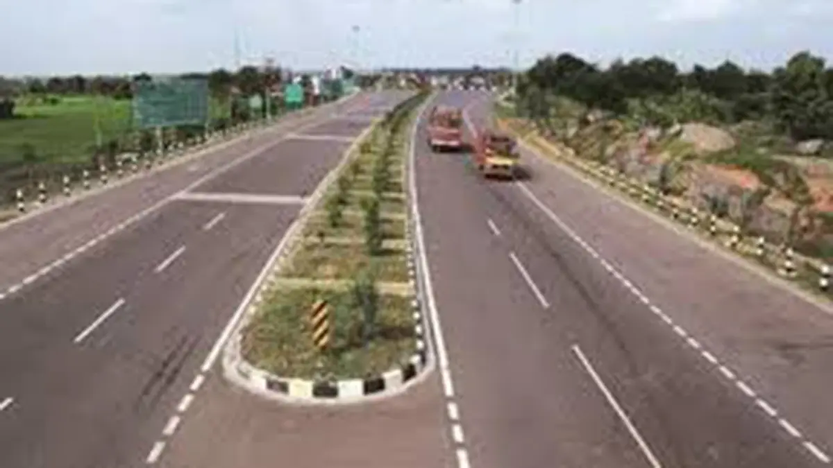
The National Highways Authority of India (NHAI) and the National Remote Sensing Centre (NRSC) have jointly launched a National Highways Green Cover Index (NH‑GCI). The index uses satellite imagery to evaluate the extent and quality of vegetation along national highways across India. An initial assessment, covering about 30,000 km in 24 states, will serve as the baseline for annual monitoring.
Background
NHAI is responsible for building and maintaining the country’s network of national highways. To mitigate the environmental impact of road construction, NHAI undertakes plantation drives under schemes such as the National Highways for Green and Clean Transportation. Measuring the survival and health of this vegetation has been challenging due to the linear and dispersed nature of highways.
The new index addresses this challenge using high‑resolution satellite sensors and the Normalized Difference Vegetation Index (NDVI). Chlorophyll content captured by satellites is used to compute NDVI values for highway right‑of‑way areas. The analysis classifies vegetation into dense, moderate, sparse and non‑vegetated categories. Annual assessments will help NHAI identify gaps, plan maintenance and improve the green cover along highways.
Key points and significance
- Standardised metric: NH‑GCI provides a uniform methodology to assess roadside greenery, enabling comparison across states and corridors.
- Data‑driven planning: By highlighting stretches with poor vegetation, the index will help allocate resources for plantation and maintenance more effectively.
- Environmental benefits: Trees and shrubs along highways reduce air pollution, provide shade and act as a buffer against soil erosion. Monitoring their health aligns with India’s commitments to climate action.
- Use of remote sensing: Collaborating with NRSC/ISRO ensures credible scientific analysis and avoids the need for laborious field surveys along thousands of kilometres.
Source: Press Information Bureau – National Highways Green Cover Index launched