

Why in news?
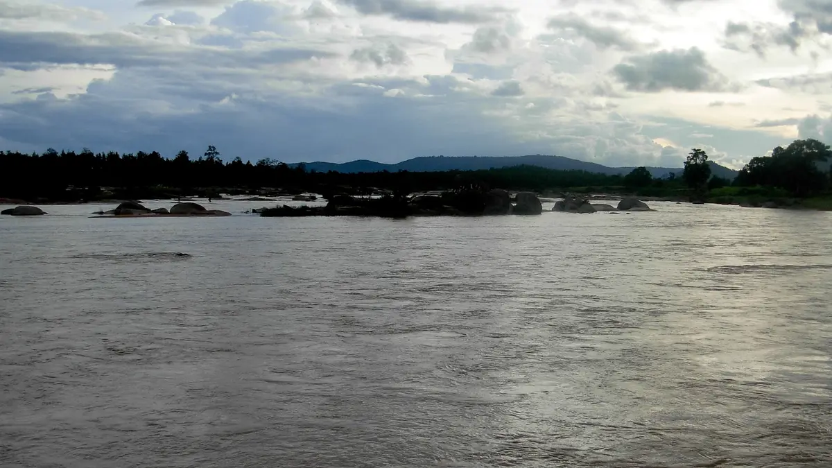
Three girls drowned in the Sankh River near Salangabahal in Odisha’s Sundargarh district on 16 September. The New Indian Express reported the deaths, citing local police. The children had visited the river to bathe and collect sand for preparations for Karma Puja, a nature-worship festival. The incident highlights the risks around rivers used for everyday activities and community ceremonies. It also brings attention to the Sankh–South Koel confluence, which forms the Brahmani near Rourkela. This is an interconnected river system extending beyond Odisha into the Chota Nagpur uplands. Police registered an unnatural-death case; the initial account does not establish a flood or a dam release as the cause.
From the plateau to the Brahmani
The Sankh rises in the uplands of present-day Gumla district in Jharkhand. The district administration places its headwaters in the Chainpur area. It belongs to the Brahmani drainage system, which ultimately carries water eastwards to the Bay of Bengal. Thus, the river beside a village in Sundargarh receives water from a much wider landscape, not merely from nearby rainfall.
The Central Water Commission’s detailed Rengali project account traces the Sankh through Jharkhand and the Jharkhand–Chhattisgarh boundary region. The Lawa, originating in Chhattisgarh, joins this system. The Sankh subsequently continues through Jharkhand before entering Odisha. This distinction matters: a river’s catchment includes tributary-fed land, so its drainage area can cross state boundaries even along a boundary reach.
Near Vedavyas, close to Rourkela, the Sankh meets the South Koel. The combined river is known as the Brahmani downstream. The South Koel must not be confused with the North Koel, which belongs to a different drainage system. The confluence connects the plateau’s tributaries with a river that supplies settlements, industry and agriculture farther across Odisha.
Why the catchment matters
A catchment is the land from which runoff drains towards a river or other water body. Rain falling on slopes, fields and tributary valleys can eventually reach the main channel. Consequently, conditions at one riverbank depend partly on water arriving from upstream. A calm-looking stretch is not a complete indication of depth, current or the shape of the riverbed.
The Brahmani basin receives substantial rainfall during the southwest monsoon. River conditions therefore vary through the year, while rainfall upstream can affect downstream reaches. This explains why water safety requires attention to changing conditions rather than familiarity with a location alone. It does not, however, prove that unusual flow caused the deaths at Salangabahal; that remains a separate factual question.
Technical records also need to be read with attention to what they measure. The Commission’s Rengali report gives the Sankh’s length as about 205 kilometres. Its detailed account identifies the tributaries and the Vedavyas confluence, rather than treating the entire Brahmani as the Sankh. River length, basin area and the length of the combined downstream system describe different things.
Two reservoirs, different positions in the system
The Mandira reservoir is on the Sankh and is associated with water supply to the Rourkela steel plant. Rengali, by contrast, is on the Brahmani farther downstream. Its purposes include flood moderation, hydropower and irrigation support. Placing both projects on the same river stretch would obscure how the tributaries, confluence and downstream infrastructure fit together.
Reservoir management and safe access to a riverbank are related but different responsibilities. Storage and releases influence the wider river system, while local safety concerns the places where people enter the water. The available report on the drowning does not identify a reservoir operation as a contributing factor. Explaining the basin should therefore not become an unsupported explanation of the accident.
Preventing deaths without assigning premature blame
The World Health Organization identifies active adult supervision and safer access around water as important measures against childhood drowning. It also supports age-appropriate swimming and water-safety education, alongside training in safe rescue and resuscitation. These measures address different risks: preventing an unsafe entry, recognising danger and responding effectively when an emergency occurs.
At places regularly used for bathing or ceremonies, communities can consider designated access points and measures suited to local conditions. Barriers are useful where they can realistically prevent children reaching dangerous water. Such precautions need to be planned before gatherings, with clear responsibility for supervision. These are prevention options, not claims about which arrangements were present or absent at Salangabahal.
Conclusion
The Sankh is both a locally used river and part of an interstate drainage network feeding the Brahmani. Understanding its course helps explain why river conditions cannot be judged from one bank alone. The immediate concern remains the children’s deaths and the investigation into their circumstances. The practical response is sustained water-safety preparation that respects community activities while reducing avoidable exposure to danger.