

Why in news?
The Subarnarekha flooded low-lying parts of Odisha’s Balasore district in early September. More than 45,000 people across twenty-two gram panchayats were initially reported affected. The river rose above its danger level near Jaleswar. Administrators evacuated about 900 residents while rescue and relief operations expanded.
The river’s interstate journey
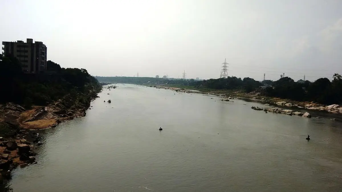
The Subarnarekha begins near Nagri village in Jharkhand’s Ranchi district. Its source stands around 600 metres above sea level. The river flows through Jharkhand, West Bengal and Odisha. It finally reaches the Bay of Bengal on the Odisha coast.
The main channel is about 395 kilometres long. Its basin covers roughly 18,951 square kilometres. Jharkhand contains most of this drainage area. Odisha and West Bengal occupy the lower and eastern portions.
Important tributaries include the Kharkai, Kanchi, Karkari and Dulang. Rain falling across these connected catchments can raise the main river. Upstream reservoirs and barrages also influence the timing of downstream flows. Flood management must therefore cross administrative boundaries.
Why Balasore is exposed
Balasore lies in Odisha’s low coastal plain. Here, the river loses elevation as it approaches the sea. Water can spread across fields, roads and settlements during high flows. Tides and local rainfall may slow drainage from already inundated areas.
The affected blocks initially included Bhograi, Baliapal and Jaleswar. These areas lie along the lower river and its floodplain. Repeated inundation can isolate villages even before houses are deeply flooded. Standing water also damages crops, drinking-water sources and local roads.
At one stage, the river was reported at 11.06 metres near Jaleswar. The stated danger level was 10.36 metres. A later official update placed the Rajghat gauge at 10.84 metres and falling. These readings describe different reporting times within a changing flood.
What triggered the latest wave
Heavy upstream rain had increased flows in Jharkhand. Thirteen gates were opened at the Galudih barrage on 1 September. The released water then moved down the Subarnarekha towards Odisha. Its effect combined with the river’s existing volume and downstream conditions.
A barrage release should not be treated as the only cause. Operators must pass inflows while protecting the structure and nearby areas. Downstream risk depends upon release timing, forecast rain and channel capacity. Public warnings need all these details, not only a gate count.
Galudih lies upstream in Jharkhand, while Balasore lies near the river’s end. Water therefore crosses West Bengal before reaching coastal Odisha. Travel time creates an opportunity for warning. It also requires prompt exchange of rainfall, reservoir and river-gauge data.
Response and immediate needs
District authorities asked residents in low areas to move to safer places. Three Odisha Disaster Rapid Action Force teams were deployed. One National Disaster Response Force team and four fire-service teams also assisted. Their work included evacuation, rescue and relief support.
Shelters require safe water, sanitation, food and basic health services. Pregnant women, older people and persons with disabilities may need early evacuation. Livestock arrangements also affect whether families leave promptly. Relief plans should recognise these practical constraints.
Floodwater can contaminate wells and hand pumps. Health teams should test water and watch for diarrhoeal disease. Restoring electricity needs precautions around submerged equipment. Crop and house losses should be recorded transparently after water recedes.
Longer-term river management
Forecasts should combine weather, reservoir operations and downstream gauge data. Warning messages must reach villages in clear local language. Maps should show likely depth and routes to safe shelters. Regular drills can make these systems usable before a severe event.
Embankments can protect settlements but may fail or shift risk. Maintenance should focus on known weak points before the monsoon. Floodplains also need space to store high flows. Unplanned building in natural drainage paths increases damage.
Jharkhand, West Bengal and Odisha need a common operating picture. This includes advance release notices and shared gauge information. Joint reviews after each flood can identify warning gaps. Basin-wide coordination is more effective than isolated district responses.
Conclusion
The latest flood shows Balasore’s continuing exposure to upstream Subarnarekha flows. Rescue and shelter support remain the immediate priority. Better warning depends upon timely interstate data and clear local communication. Long-term safety also requires floodplain planning and maintained protection works. Managing the whole basin can reduce risk more effectively than reacting after every release.