

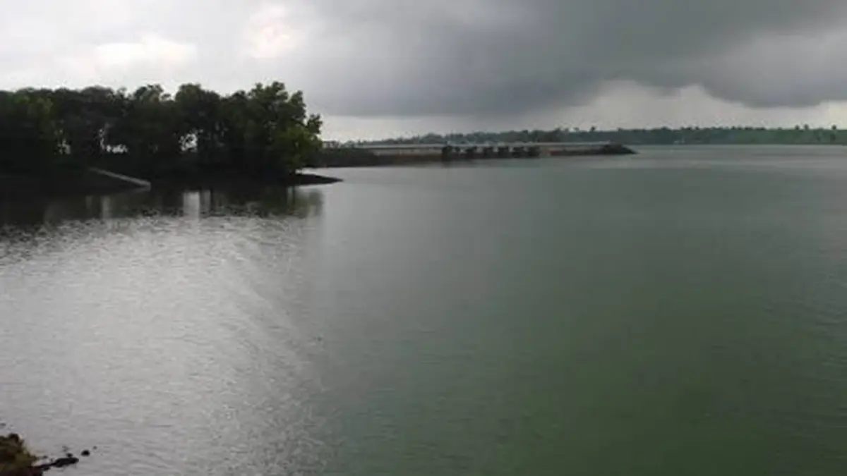
Why in news?
Two teenagers drowned during a video-making outing in Palghar district on 16 September, according to a police account reported by Hindustan Times. Their bodies were recovered the following day. The report’s headline refers to the Vaitarna River, but its detailed account places the fatal entry near Umrothe on the Pinjal. Pinjal is a tributary of Vaitarna, so the event concerns the same river system, though the named channel matters. Vaitarna drains part of Maharashtra’s western hills towards the Arabian Sea and supports important water infrastructure. The tragedy draws attention to river safety and to the danger of judging a flowing channel by its appearance alone.
From the Western Ghats to the sea
The Central Water Commission places Vaitarna’s source in the Trimbak hills of Nashik district. The river flows westwards towards the Arabian Sea, with a main course of about 120 kilometres. It is part of the west-flowing drainage of Maharashtra. Its course therefore differs from rivers that travel east across the peninsula towards the Bay of Bengal.
The system includes tributaries such as Pinjal, Surya, Daharji and Tansa. A tributary is a river or stream that joins another channel rather than reaching the sea independently. Each tributary also collects water from its own surrounding land. Together, these connected channels form a network, so conditions in the larger river depend on more than rainfall beside its main banks.
A catchment is the area that drains towards a particular river or outlet. Hills and ridges separate neighbouring catchments, while smaller drainage areas fit within larger ones. This explains why a river cannot be understood only as the line shown on a map. The slopes, soils, settlements and tributaries around that line help determine how water reaches it.
Why flow changes
Rain does not all arrive in a channel at the same time. Some runs over the surface, some enters the soil, and some remains temporarily stored. Steep terrain and already wet ground can change how quickly water reaches a river. Rainfall upstream can therefore affect a downstream location even when little rain is falling at that particular spot.
Land cover also influences the process. Hard surfaces allow less infiltration than many vegetated areas, while reservoirs store and release water. These are general principles of catchment behaviour, not a finding about what caused the September deaths. The available report does not establish that a dam release, flood warning failure or any particular hydrological change caused the incident.
A river connected to urban water supply
Vaitarna is important beyond the settlements immediately beside it. The Brihanmumbai Municipal Corporation operates water infrastructure in the basin to support Mumbai’s supply. Its Middle Vaitarna project was designed to augment supply by 455 million litres per day and was commissioned in March 2014. That is a supply-scheme figure, not a measure of the river’s natural daily flow.
A reservoir stores water so that supply can continue beyond the moment when rain falls. Operating such infrastructure involves gates, outlets, maintenance and safety procedures, as the municipal project records describe. The presence of useful water infrastructure does not turn every nearby river stretch into a supervised recreation site. Drinking-water provision and safe public access are separate responsibilities.
The connection to Mumbai also highlights why catchment condition matters. Water arriving at a reservoir reflects processes across the land draining into it. Planning cannot focus only on the dam wall or a pipeline. The wider landscape influences what must subsequently be stored, managed and treated, linking upstream land use with downstream public services.
Prevention without blaming victims
The World Health Organization treats drowning as a preventable public-health problem, not merely a series of individual mistakes. Its prevention approach includes controlling unsafe access, appropriate supervision, water-safety education and trained rescue capacity. These measures operate at different stages. Education helps people recognise danger, while suitable barriers or access arrangements can prevent exposure before a risky decision arises.
A video does not establish the depth, current or safety of the water it shows. Nor does familiarity with a riverbank guarantee that conditions are unchanged. Public messaging should explain these limits clearly instead of relying on fear or moral judgement. In an emergency, prompt contact with local emergency services and trained rescuers is safer than an untrained entry into dangerous water.
Conclusion
The reported deaths occurred within the Vaitarna system, with the detailed account identifying its Pinjal tributary. Understanding that relationship improves both geographical accuracy and the explanation of river risk. Vaitarna is a connected catchment and a source of public water, not simply a scenic channel. Better prevention requires attention to access, changing conditions and timely rescue arrangements around places people actually use.