

Why in news?
A 7 September Moneycontrol report revisited China’s planting programme around the Taklamakan Desert and its disputed climate benefits. A January 2026 study linked greening along the desert’s margins with stronger carbon uptake. Other researchers questioned the strength of that attribution and whether the benefits could extend across the dry interior. The authors defended their evidence but also rejected unrestricted expansion of planting. The issue is therefore not simply whether more trees are good or bad. It is whether carbon storage, sand control and water availability can be sustained together in a very dry landscape. This is an ongoing interpretation of existing research, not a new experiment announced on 17 September.
A desert enclosed by mountains
The Taklamakan occupies much of the Tarim Basin in Xinjiang, in northwestern China. The Tien Shan lie to its north, the Kunlun Mountains to its south and the Pamir highlands to the west. Towards the east, the basin extends towards the Lop Nur region. The Gobi is a separate desert farther east, not another name for the Taklamakan.
The basin’s inland position and surrounding mountains help explain its dryness. Moist air loses much of its water before reaching the interior, while the region is far from oceanic moisture sources. The mountains also provide snow and ice melt that feeds rivers and oases. The Tarim River follows the desert’s northern margin, illustrating the importance of water arriving from outside the sandy interior.
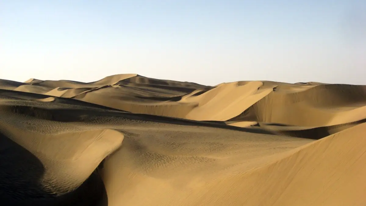
Much of the Taklamakan consists of mobile sand dunes. Wind moves loose material where vegetation is sparse, and fine particles can travel beyond the basin as dust. Natural desert conditions are not themselves proof of land degradation. Desertification refers to the degradation of dryland ecosystems; protecting vulnerable settlements and farmland does not require converting every natural desert surface into woodland.
What a shelterbelt is meant to do
China’s Three-North Shelterbelt Programme began in 1978 to address wind erosion and land degradation across northern regions. Around the Taklamakan, planting has concentrated on selected margins and protective corridors. Vegetation can slow wind close to the ground and help hold soil or sand in place. The practical purpose is protection of exposed land and infrastructure, not merely a higher tree count.
That purpose must be matched to the environment. Plants need an adequate supply of water through their growing lives, not just at planting. In dry areas, the choice of species, planting density and irrigation source therefore affects whether vegetation survives. A belt that protects an oasis may be useful even when extending the same approach into the interior would be unsustainable.
From visible greening to a carbon balance
Plants absorb carbon dioxide during photosynthesis and use the carbon to build living tissue. Some carbon returns to the atmosphere through respiration and decomposition. A carbon sink takes up more carbon than it releases over the period being measured. More visible vegetation can support greater uptake, but greenness alone does not measure the complete carbon balance.
The January study, published in the Proceedings of the National Academy of Sciences, combined several kinds of observations and modelling. These included changes in vegetation, photosynthetic activity and exchanges of carbon between land and atmosphere. Its authors reported strengthening uptake associated particularly with the desert’s vegetated edges. Their claim concerned changes over time, not the sudden disappearance of a desert.
A seasonal fall in atmospheric carbon dioxide is also different from a measured long-term increase in local storage. Air moves between regions, and biological activity changes with the seasons. Concentration describes how much carbon dioxide is present in air; a flux describes its movement into or out of a system. Confusing these measures can make a local restoration result appear larger or more certain than it is.
What the scientific disagreement actually concerns
In a June commentary, researcher Nan Xu questioned statistical uncertainty in the regional carbon-exchange trend and the attribution to planting. The commentary also highlighted non-biological carbon exchanges involving desert soils and sands. Its central concern was that observations at the margins could not justify treating the whole desert as an easily expandable carbon sink.
In their reply, the study’s authors said their conclusion rested on multiple long-term records, including locally significant changes along the rim. They said the seasonal carbon-dioxide difference was not their sole evidence for the long-term trend. They also explained that whole-desert calculations were extreme hypothetical estimates, not a recommended planting programme. Thus, the reply defended a bounded finding rather than promising unlimited expansion.
Water remains the limiting question
Carbon uptake and water use are connected because plants lose water while exchanging gases with the air. Irrigation can support growth, but that water has competing uses in oases, agriculture and natural ecosystems. A successful project must therefore examine its water source and long-term availability alongside carbon gains. Counting planted stems without checking survival and water demand would miss the principal constraint.
Conclusion
The Taklamakan shows why restoration must be evaluated at the scale where its benefits are actually demonstrated. Vegetation around suitable margins can protect land and may increase carbon storage. That does not establish that the entire desert should be planted. The useful next step is stronger measurement of local carbon gains, water costs and ecological outcomes together.